Getaway in the Luberon
Roussillon, an ochre village in the heart of the Luberon
Text and photographs by Vincent Flachaire
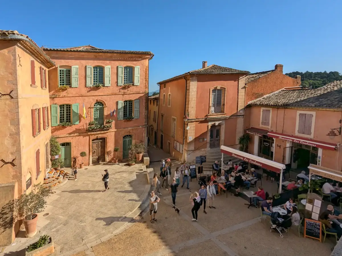
Steps, squares and narrow lanes lead to the Castrum rock between façades in shades of ochre.
Roussillon on the hills of the Ochre Massif
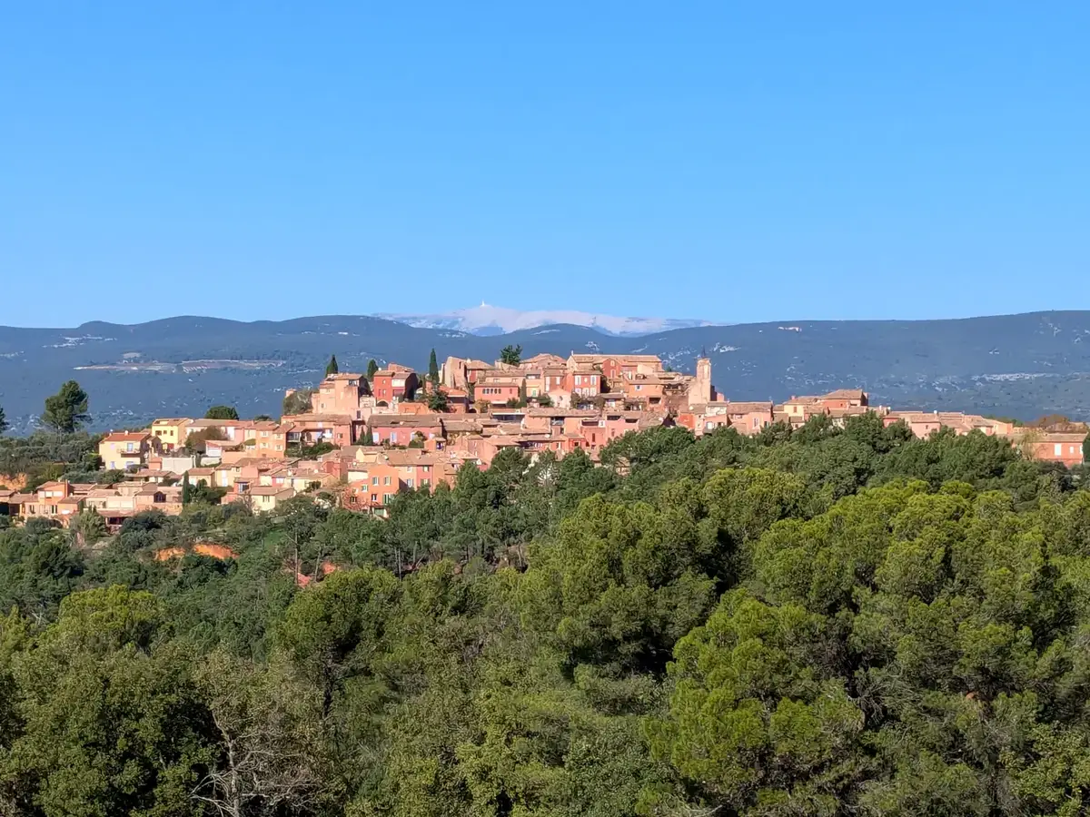
Roussillon occupies a hill north of the Calavon Valley, facing the Luberon range. Around the village, ochre sands form a chain of hills stretching from Goult to Gignac through Gargas and Rustrel. Natural erosion and ochre extraction have shaped the coloured cliffs that mark the landscape today.
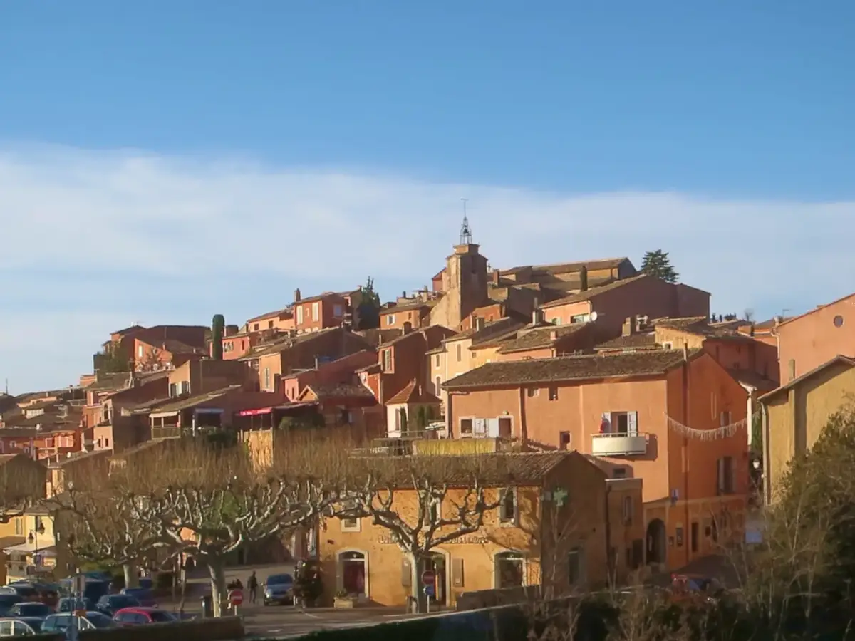
In the village, the rendered façades echo the palette of the surrounding earth, from pale yellow to deep red. Their shades vary with the mixtures used, the age of the walls and the light.
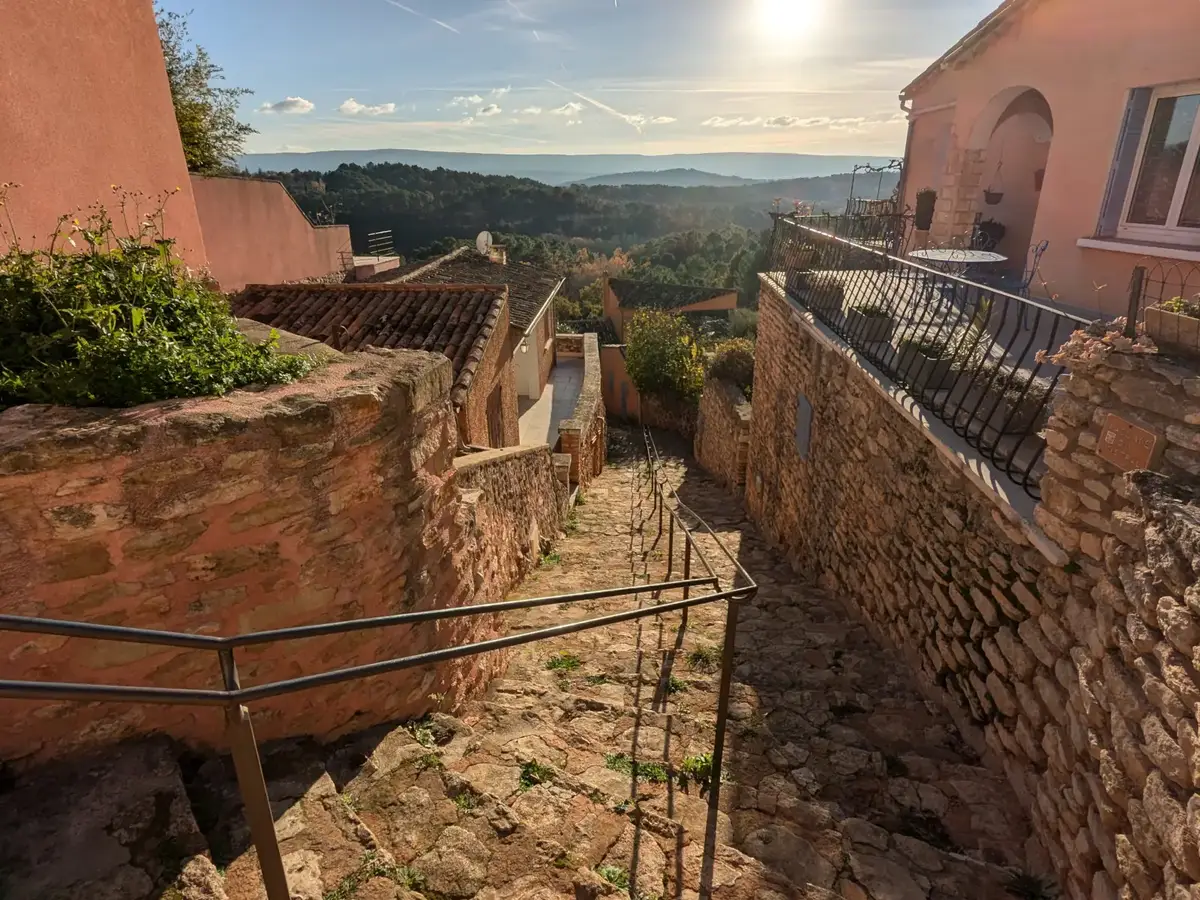
Steps, lanes and squares in Roussillon
Narrow passages and flights of steps follow the slope between the houses. The walls alternate between exposed rubble stone and rendered surfaces in different shades of ochre. Here and there, a gap between two façades opens onto the woods and hills surrounding the village.
Around the town hall, the street widens into the village's main square, lined with ochre façades, shops and café terraces. Beyond it, the passages narrow again as they approach the belfry and the old fortified core.
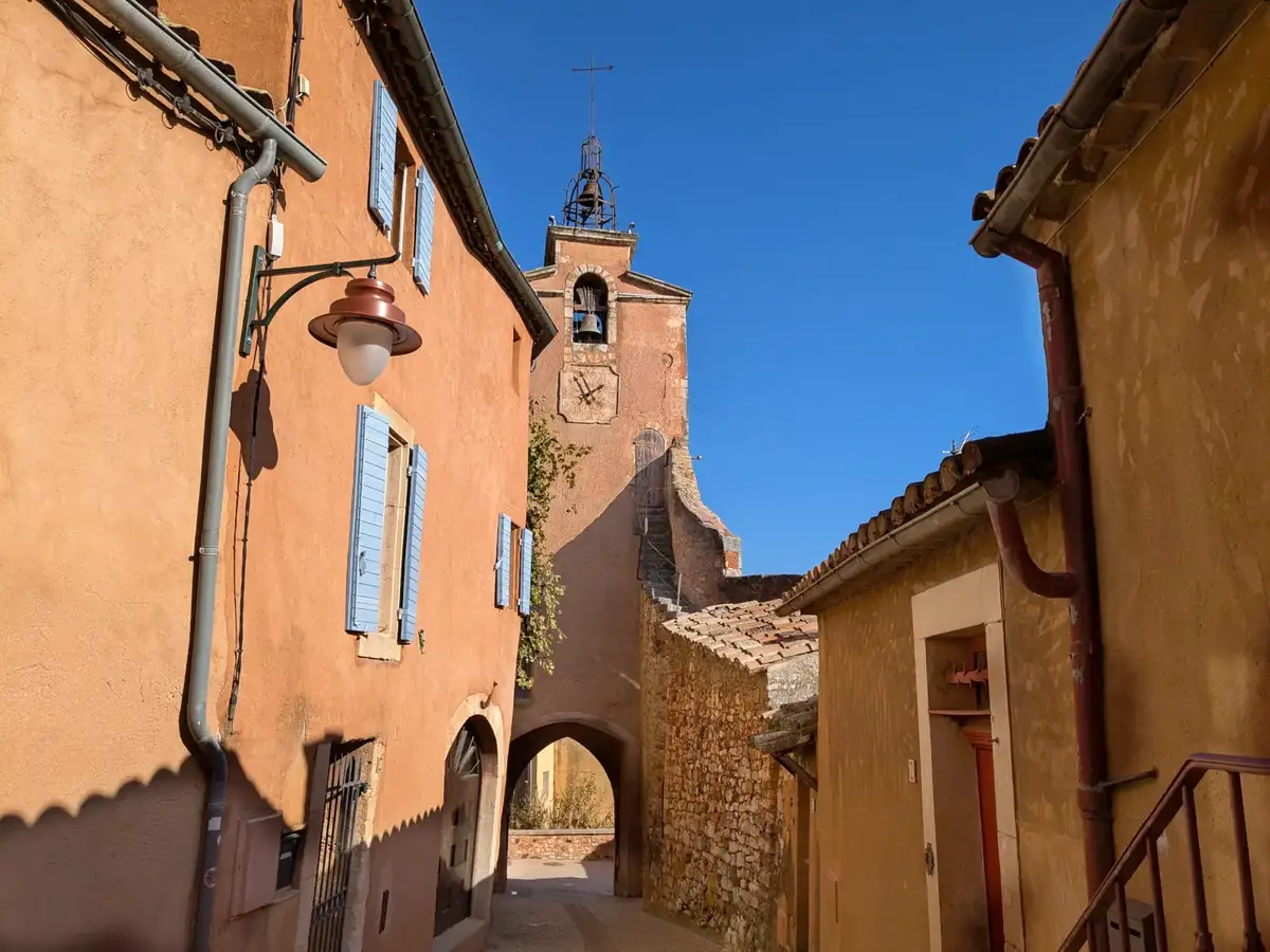
The belfry, a former gateway to the castrum
Above the square, the belfry appears at the end of the narrow street. Its base preserves the passage through a former gateway to the castrum. Remodelled in the 19th century as an auxiliary bell tower for the church, it marks the entrance to Roussillon's old fortified core.
The vaulted passage, clock and bell bring several functions together in one structure: defensive gateway, village landmark and audible signal. To the left, a lane follows the course of the old wall walk that once linked two towers in the ramparts.
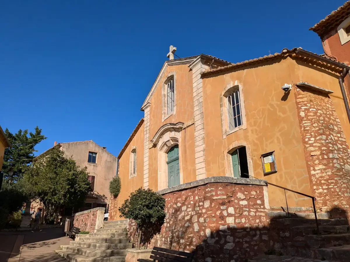
Saint-Michel Church in the old fortified core
Beyond the belfry, the lane reaches Saint-Michel Church within the former fortifications. Romanesque in origin, the building is documented from the 12th century and has been altered several times; its present façade dates from the 17th century. In 1791, Roussillon-born sculptor Alexis Poitevin created several works preserved in the church, including the now-listed baptismal font and a crucifix.
The façade and neighbouring walls combine pale stone, masonry and orange render. This range of materials and colours places the church in continuity with the houses of the old village.
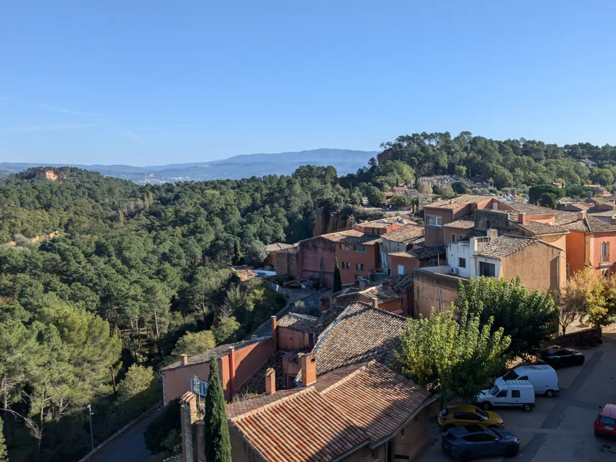
From the Castrum rock, the relief of the Ochre Massif
The orientation table stands on the Castrum rock at the highest point in Roussillon. Beyond the tiled roofs, the panorama extends across the valley and wooded hills. To the north, the Monts de Vaucluse close the horizon, with Mont Ventoux visible behind them in clear weather.
Looking towards the Ochre Trail, a fragment of its coloured cliff appears behind the houses. The shape of the village becomes clear: a compact settlement on a hill, bordered by wooded slopes and valleys that continue the landscapes of the Ochre Massif.
The Ochre Trail and the history of the pigment
Close to the village, the Ochre Trail descends into former open-air quarries. Industrial-scale extraction developed from the late 19th century and shaped the quarry faces before erosion continued their transformation. The sand was washed to separate the ochre, after which the pigment was dried, ground and prepared for different uses.
From the viewpoint before the entrance to the trail, Roussillon occupies the full height of the hill. The church and belfry rise above houses whose colours recall the palette of the nearby quarries. Further towards Apt, the former Mathieu factory, now the Ochre Ecomuseum, preserves equipment that explains how ochre sand was transformed into pigment.
Roussillon on a route through the Pays d'Apt
To the west, Goult and Gordes extend the journey through the hilltop villages. Towards Apt, Gargas and Rustrel reveal other landscapes and remains of the ochre industry.
Roussillon belongs on a route through the northern Luberon linking hilltop villages, ochre landscapes and former processing sites.
Practical information
Visiting Roussillon and the Ochre Trail
- Exploring the village
- Roussillon is best explored on foot, along lanes and steps that follow the slope. Paid car parks are available at the entrance to the village; suitable footwear is useful.
- Ochre Trail
- Two loops pass through the former quarries, taking around 30 or 50 minutes. Opening times vary with the season, and the trail may close temporarily after heavy rain or for safety reasons.
Opening times, access and parking arrangements may change. Check the practical information for the Ochre Trail before you travel.
Extend your stay
Guest houses around Roussillon and in the Pays d'Apt
Staying around Roussillon makes it easy to reach the village, the Ochre Trail and the other ochre sites of the Pays d'Apt. The portal favours direct links to owners' websites.
These properties listed on the Portal are within 25 km as the crow flies of the location featured in this getaway. Visit their websites to plan your stay.

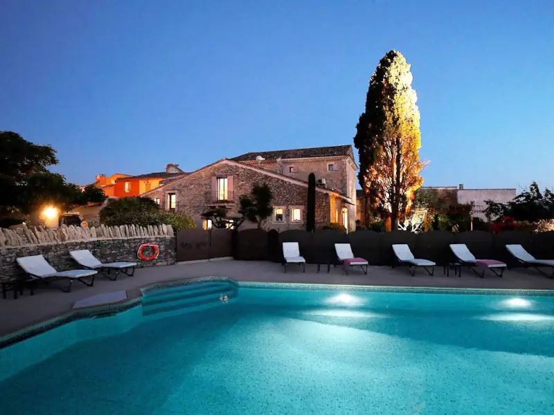
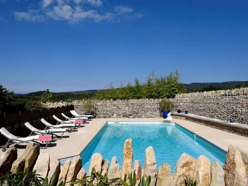
Gîte des Demoiselles
Charming Gite
Roussillon
Visit website
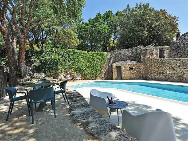




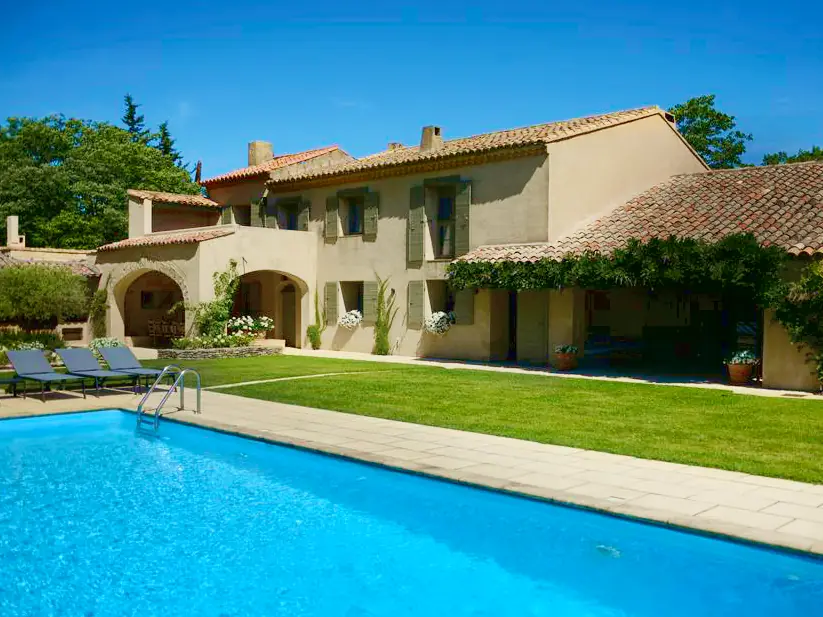
Four de Cony
Charming bed and breakfast
Saumane de Vaucluse
Visit website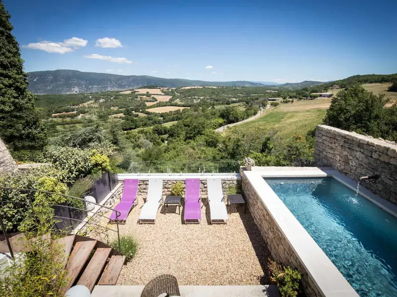


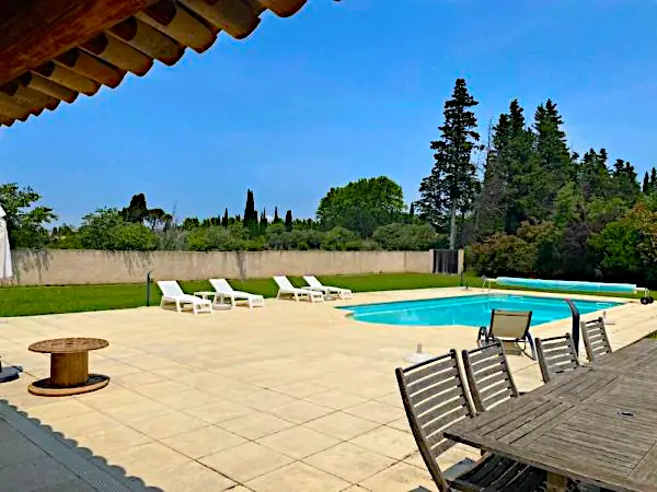
Le Pavillon du Lantana
Holiday home
Les Taillades
Visit website
La Bergerie du Luberon
Charming holiday home
Les Taillades
Visit website