


Getaway in Haute-Provence
The Valensole plateau: lavender fields and the village
Text and photographs by Vincent Flachaire
When the lavender blooms on the Valensole plateau, take time to admire the purple landscapes and learn about the work of the growers who shape them.
From Manosque to Valensole
From Manosque, the D907 and then the D6 lead towards Valensole. As you climb onto the plateau, the horizon opens up: lavender rows stand beside cereal fields, dotted with isolated trees. The first fields appear along this road, before you reach Valensole village.

Plan several stops to enjoy the landscapes along the way. Crops vary from one plot to the next and from year to year. A field shown in bloom in a photograph may already have been cut when you arrive, or replaced by another crop. Leave the car in Valensole while you explore the village streets and squares.
A break in Valensole village
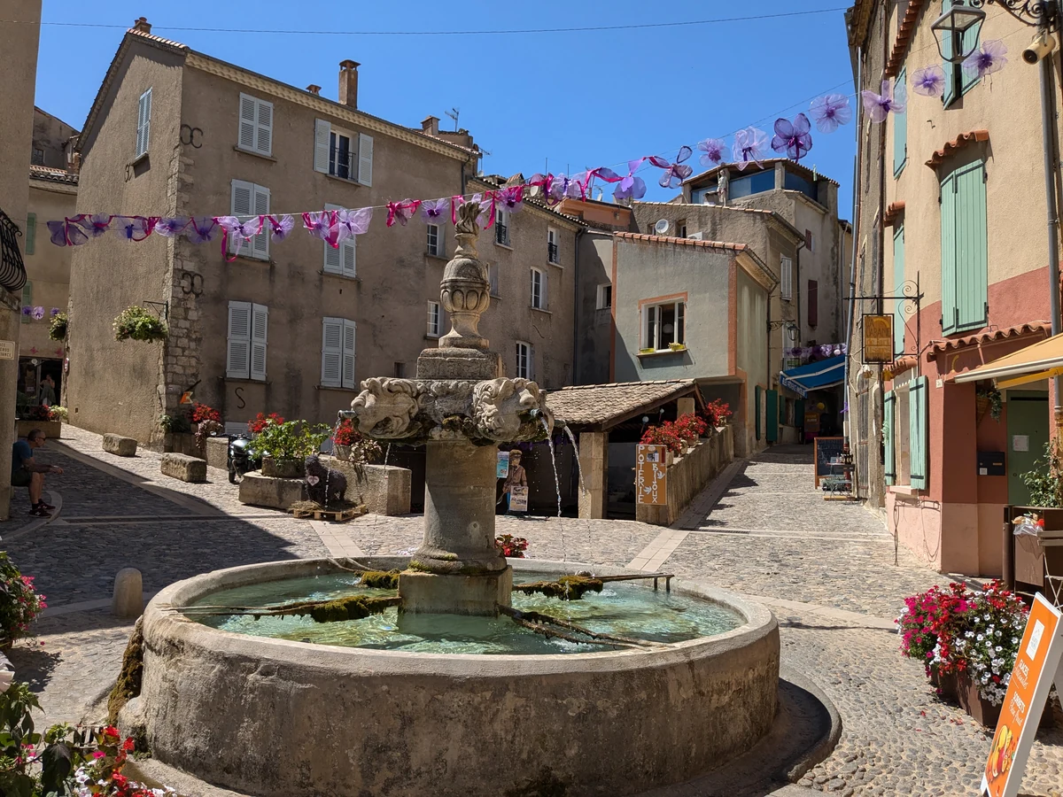
Between stops on the plateau, leave the car behind and explore Valensole on foot. Built over natural springs, the village still has several fountains and washhouses, a surprising sight after the dry landscapes of the fields. From the main fountain, the streets climb towards Saint-Blaise church, which overlooks the houses on the hillside. It recalls Valensole’s long-standing ties with Cluny Abbey, where Saint Mayeul, born here in the 10th century, became one of the abbots.
Lavender or lavandin?
On the Valensole plateau, the fields commonly called “lavender fields” are mainly planted with lavandin. This hybrid produces more essential oil than fine lavender and has a more camphor-like scent. At producers’ shops, bottle labels tell you which plant has been distilled.
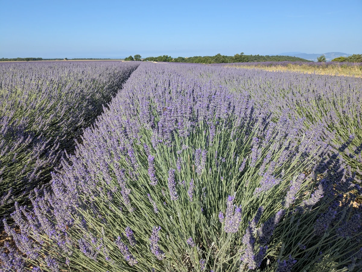
To meet a grower, choose a farm that shows its own crops and explains where its essential oils come from. Depending on your interests, look for a farm shop, a farm tour or a chance to learn about distillation. Check opening hours, any booking requirements and when the distillery operates: flowering fields and distillation do not necessarily coincide.
From Valensole to Puimoisson and Riez
From Valensole, take the D8 and then the D953 towards Puimoisson, and continue along the D953 to Riez. The route crosses the plateau, linking its villages. Allow half a day with photo stops and a break in one of them.

From Riez, you can reach Moustiers-Sainte-Marie or Lake Sainte-Croix. For an alternative return towards Manosque, the D952 passes through Allemagne-en-Provence, Saint-Martin-de-Brômes and Gréoux-les-Bains. Allow more time for this loop. The lavender route map helps you choose stops to suit your starting point.
When are the fields in bloom?
To see the fields in bloom, generally aim for mid-June to mid-July. Late June and early July often bring beautiful displays, although the dates vary with the weather and from plot to plot. The first cutting can change the landscape quickly from early July onwards: not every field stays purple until the end of the month.

Before visiting, consult the tourist office’s information or contact a grower to check how flowering and harvesting are progressing. For a later stay, Sault and the Albion plateau or the Baronnies provençales offer other options, with flowering often later depending on altitude.
Photographing the plateau without entering the crops
In the morning and towards the end of the day, low-angle light brings out the rows and the folds of the land. Arriving early also avoids the hottest hours. An isolated tree, the boundary between two plots or distant hills offer other focal points for photographs.

The fields are private farmland: the spaces between rows are not public paths. Take photographs from places where access is permitted, without walking through the crops or picking flowers. Park in car parks or designated areas, follow the signs and keep the carriageway and farm access clear.
Continuing to the villages, the lake and the Verdon
After the fields, continue exploring the plateau’s villages or the shores of Lake Sainte-Croix. In Sainte-Croix-sur-Verdon, the village streets open onto views of the water. Moustiers-Sainte-Marie and the Verdon gorges can complete your stay; allow time to enjoy each stop.
Practical information
Planning a visit to the Valensole plateau
- Recommended period
- Generally mid-June to mid-July, depending on the plot. Cutting can begin as early as the start of July: check before travelling.
- Suggested route
- Manosque → Valensole on the D907 and D6, then Puimoisson and Riez on the D8 and D953. Adapt the drive to your starting point.
- Other approaches
- You can also reach the plateau via Riez when coming from the Haut-Var, via Moustiers-Sainte-Marie when coming from the Verdon gorges, or from Bauduen on the shores of Lake Sainte-Croix.
- Suggested duration
- Half a day with photo stops and a village break; a full day if you add a grower visit or a detour to the lake.
- Parking and access
- Use authorised stopping places and car parks shown on the tourist map. Keep roads, field entrances and farm access clear.
- What to bring
- Water, sun protection and suitable shoes for short walks. This route follows the plateau’s roads without crossing the fields. Watch out for the many bees visiting the flowers, and bring a small first-aid kit in case of a sting.
For the route and flowering period, consult the Manosque tourist office’s page.
Extend your stay
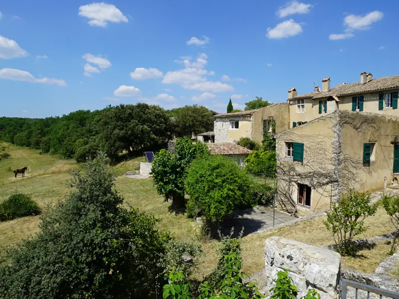
Guest houses around Valensole and the Verdon to extend the getaway
These properties listed on the Portal are within 25 km as the crow flies of the location featured in this getaway. Visit their websites to plan your stay.
Last updated: