A getaway in L’Isle-sur-la-Sorgue
One Sorgue arrives at the Partage des Eaux, two leave
Text and photographs by Vincent Flachaire
L’Isle-sur-la-Sorgue owes its name to the arms and channels that leave the river at the Partage des Eaux.
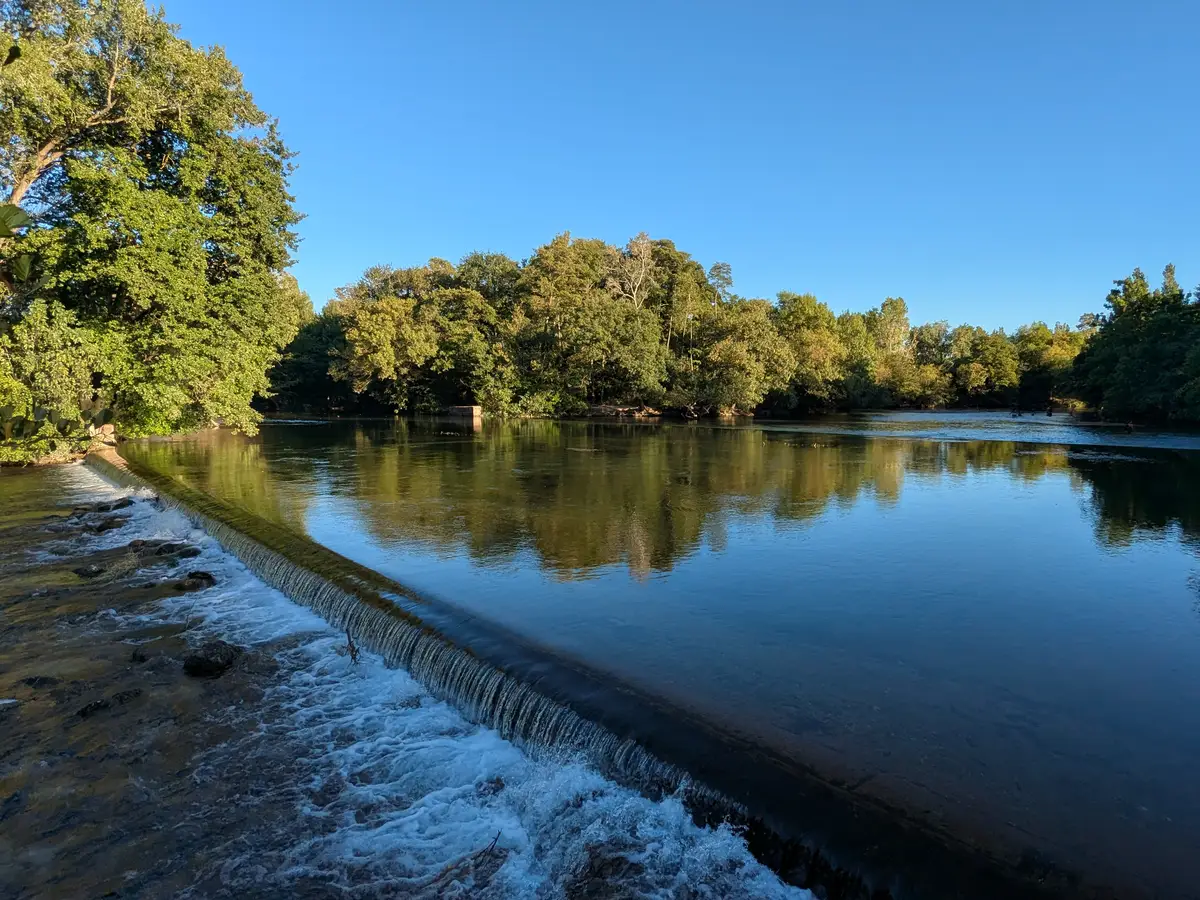
Two stone weirs divide the course of the Sorgue
The river comes down from Fontaine-de-Vaucluse, where it rises at the foot of the cliff, and until this point it runs in a single bed. Just upstream of L’Isle-sur-la-Sorgue, at the Partage des Eaux, it separates into two main branches: the Velleron arm on one side, the Entraigues arm on the other. Both go on to water the plain towards the Rhône valley.
The river spreads out here across a wide, shallow reach, and each arm begins with a long stone weir set at an angle across the current, over which the water tips from one level to the next.
Feeding the mills and watering the fields
The water of the Sorgue serves more than one purpose. It is diverted to irrigate the fields, and it is kept running to turn the wheels: on one side those who water, on the other those who mill. The two uses work against each other, since what one takes never returns to the other’s channel. A share has always had to be set between them — and that has not stopped: the task falls today to the syndicat mixte du bassin des Sorgues, the public body that manages the river basin.
The division at the Partage des Eaux is not accidental: it is prescribed. A decree of 1852 fixes the share due to each arm — five twelfths on one side, seven on the other — and the larger goes to the Entraigues arm, which runs through the town. The point was to guarantee the steady flow on which the flour mills and factories downstream depended. The proportion is written into the stone: forty metres of crest for the Velleron weir, fifty-six for the Entraigues one.
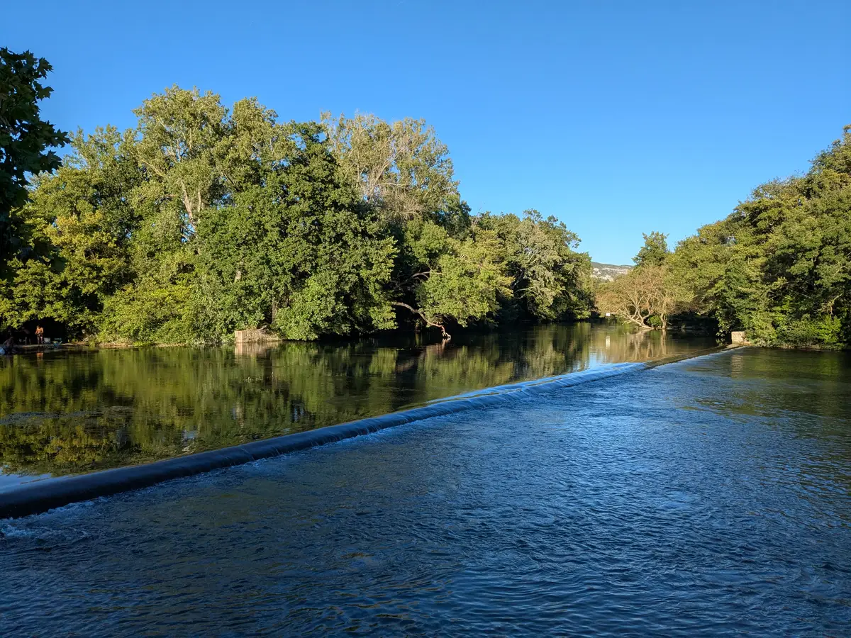
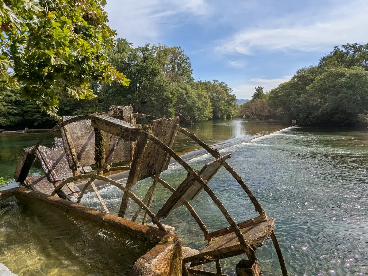
Downstream, in the town, the great water wheels turned the silk mills and paper mills of the nineteenth century.
A river that divides instead of gathering
An ordinary river collects the streams that join it and forms larger arms. The Sorgue does the opposite: it starts as a single body of water, then divides, and divides again. Thirty-two kilometres separate its source from its confluence, yet the network they make up runs to several hundred kilometres of arms and channels.
It is not entirely natural. From the early twelfth century, people dug, diverted and channelled — to drain the marshes known as the paluds, and to capture the power of the current. The Partage des Eaux is the clearest illustration of that patient work: the river was no longer left to decide.
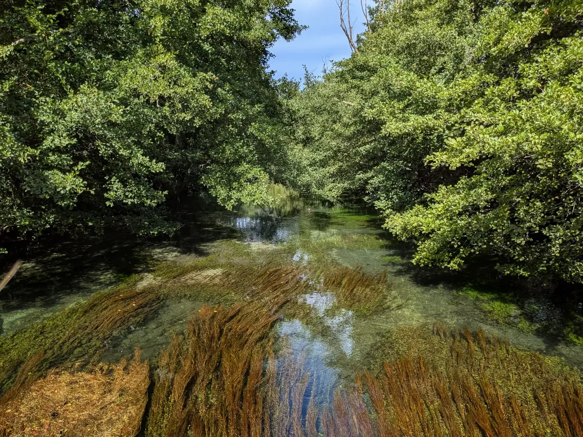
The water comes from a resurgence: it leaves the ground at around thirteen degrees Celsius, close to 55°F, and barely moves from it, winter or summer. It has travelled deep enough under the plateau to ignore the seasons, and its steady flow knows nothing of the moods of surface rivers. By the end of summer, when it is at its lowest, the bed appears — pebbles, gravel, and the long weed combed by the current. Those beds shelter spawning grounds and invertebrates; the ecosystem is a fragile one, hence the notice posted along the banks: walk beside the river rather than in it.
Ducks are at home here, and so are coypu — brought from South America in the nineteenth century for their fur, and whose burrows weaken the banks. More discreet, the white-throated dipper walks under water to find its food; it is taken as an indicator of water quality.
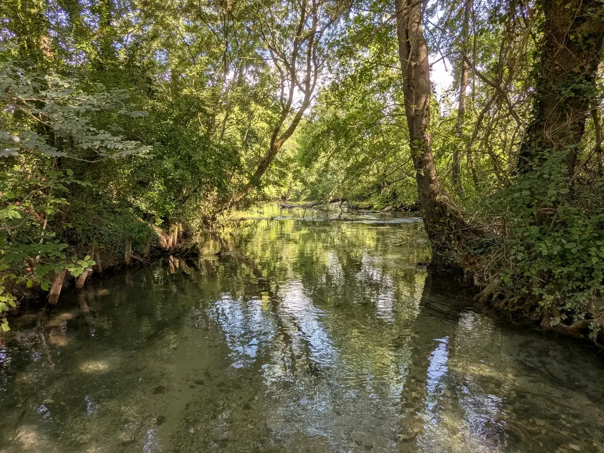
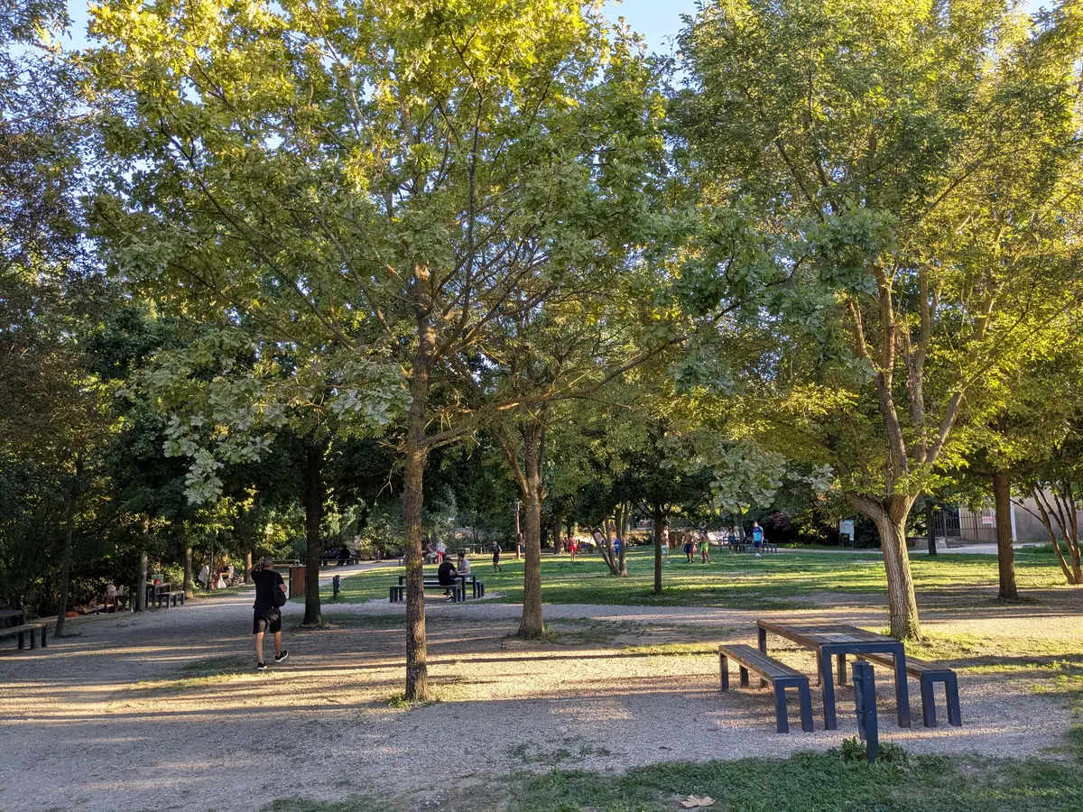
Under the trees at the Partage des Eaux
Around the two weirs the bank is planted with tall trees and the shade is deep. A space has been laid out, with tables on the grass and on the beaten earth, and there is room for children. People come here for the coolness: in summer, a river at thirteen degrees under the canopy is a piece of luck for the day.
The water flows on into the town
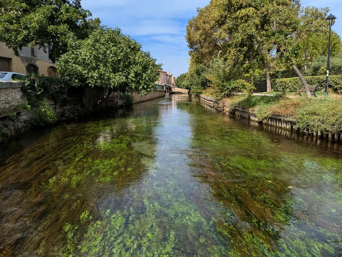
Downstream, the Entraigues arm reaches the old centre and slips between the quays. There it divides once more, into the channels that close around the old town — and it is from this last division that the town takes its name. The water keeps everything it had upstream: the clarity, the coolness, and the combed weed waving beneath the surface a few metres from the housefronts.
The nègo-chin, a boat shaped for the Sorgue
It has a flat bottom, because the water is shallow, and is worked standing up with a pole — the partego, cut from hazel or red willow. Its name translates as “drown-dog”: the fishermen of the town, the pescaïres, joked about its balance by warning a neighbour that they were off to drown his dog.
In early August the nègo-chin go back to work. Loaded with flowers, fruit, vegetables, cheese and bread, they sell from one quay to the other for the floating market, poled by boatmen in costume, while summer visitors crowd the banks and the bridges to watch them pass.
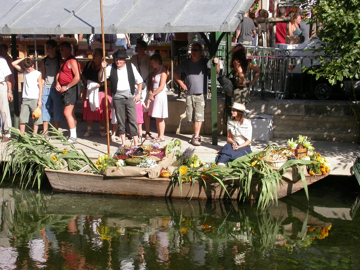
The custom itself is recent. It was thought up by René Légier, then deputy mayor, on his return from a trip to Thailand where he had seen the floating markets of Bangkok: the boat belongs to the Sorgue, the festival comes from elsewhere. The success was immediate — television covered the first edition — and the town has held it every summer since.
More to see along the Sorgue
For the rest of the year, it is the stalls of the Sunday market that fill these quays. Upstream, the river leads to Fontaine-de-Vaucluse and the ruins of the Château des Évêques; around it, Saumane-de-Vaucluse, Le Thor and Velleron continue the run of villages born of this network.
Visitor information
Visiting the Partage des Eaux
- Access
- The site lies just upstream of the old centre of L’Isle-sur-la-Sorgue, on the riverbank. It is open all year, free of charge, and laid out with tables under the trees.
- On the water
- On the upper Sorgue, boating is restricted to non-inflatable kayaks and to the nègo-chin. Canoe and kayak descents are organised from Fontaine-de-Vaucluse.
Access conditions may change. Check the Partage des Eaux page from the tourist office before your visit.
Extend your stay
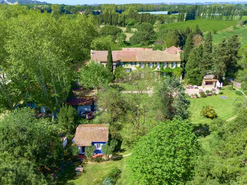
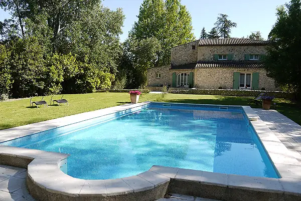
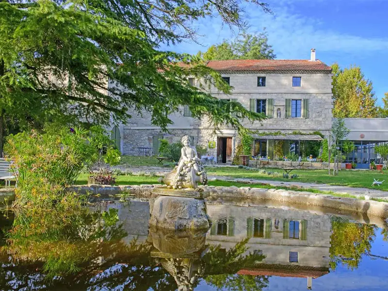
Bed and breakfasts around L’Isle-sur-la-Sorgue
These properties listed on the Portal are within 25 km as the crow flies of the location featured in this getaway. Visit their websites to plan your stay.
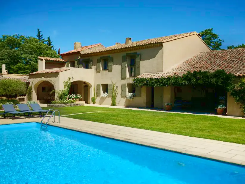
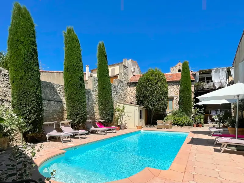
Four de Cony
Charming bed and breakfast
Saumane de Vaucluse
Visit website

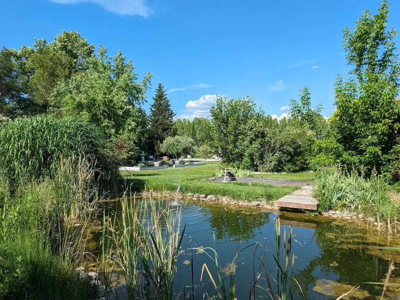


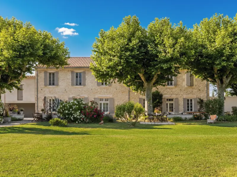
La Bastide des Amouriers
Charming bed and breakfast and Gite
Caumont-sur-Durance
Visit website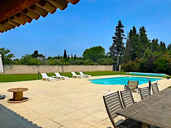
Le Pavillon du Lantana
Holiday home
Les Taillades
Visit website
La Bergerie du Luberon
Charming holiday home
Les Taillades
Visit website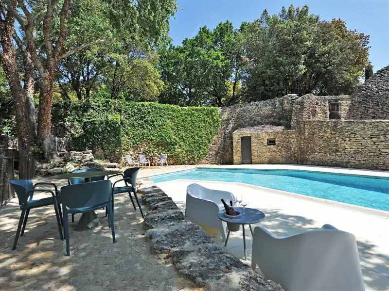
L'Oréliane
Charming Bed and breakfast
Châteauneuf de Gadagne
Visit website
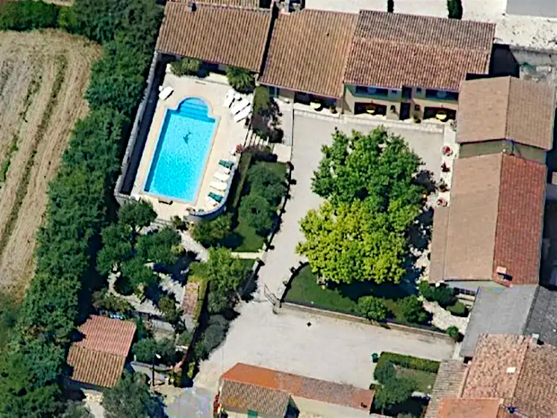
Le Mas de l'Amandier
Charming Bed and breakfast and holiday rental
St Saturnin lès Avignon
Visit website
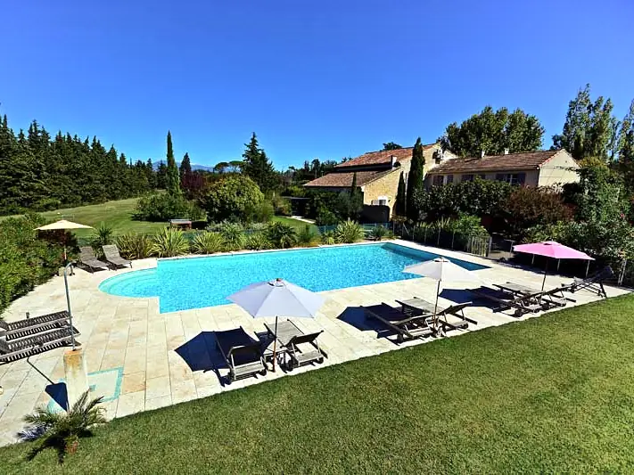

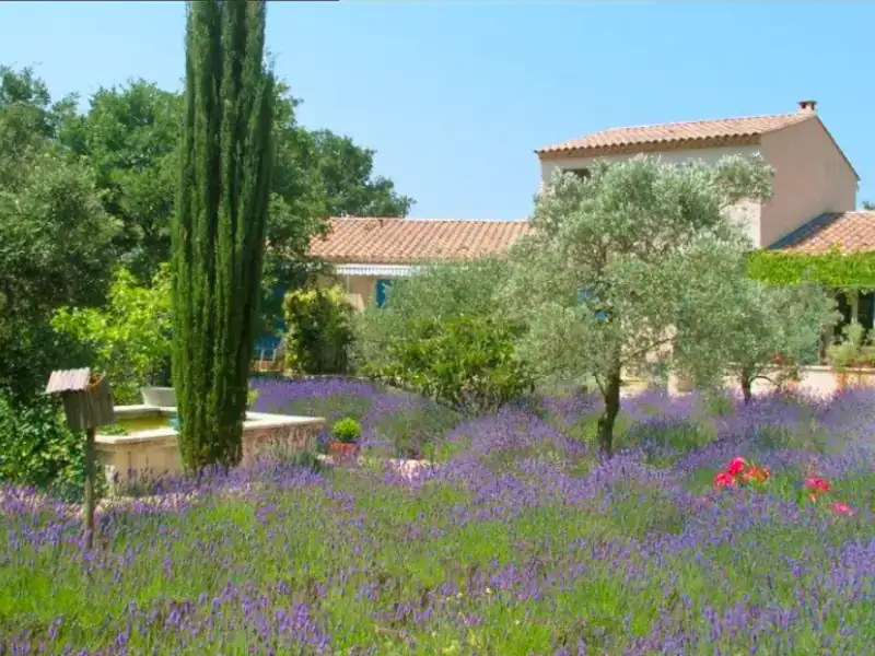
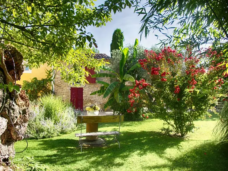
Gîte des Demoiselles
Charming Gite
Roussillon
Visit website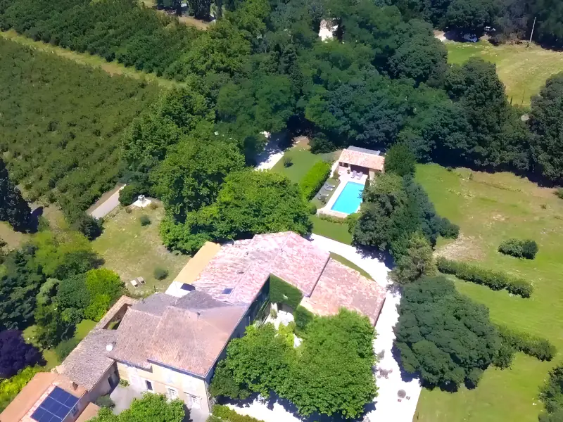



Les Mazets du Luberon
Prestige bed and breakfast and cottage
Puget sur Durance
Visit website