


A getaway in the Luberon
Bonnieux, from the lower church to the hilltop church
Text and photographs by Vincent Flachaire
In Bonnieux, cobbled lanes and covered passageways lead from the lower church to the old church above. At the top, the terraces overlook Lacoste and the Calavon plain.
A village on the slopes of the Luberon
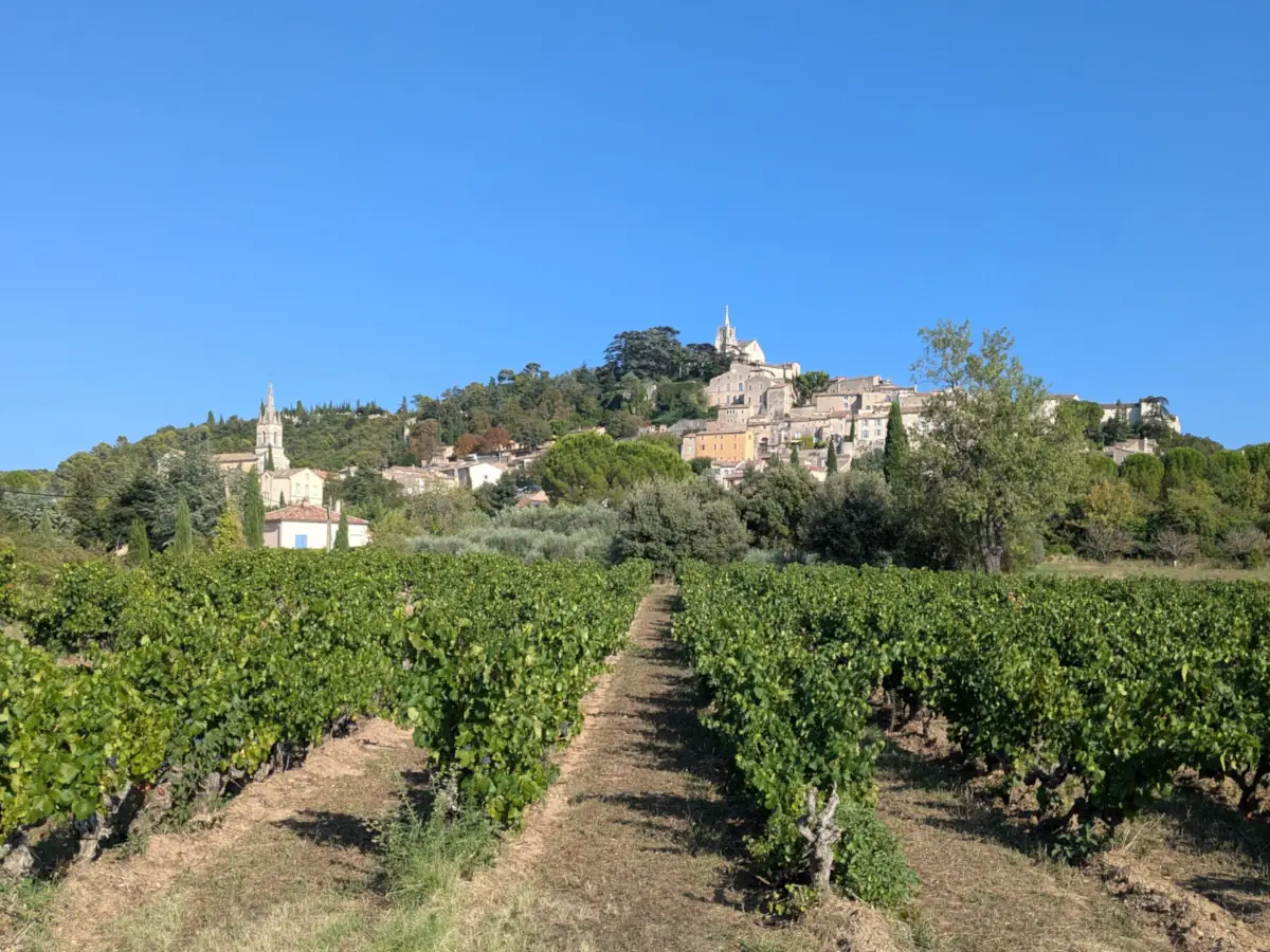
Seen from the vineyards, the houses of Bonnieux rise in tiers above the plain. The village stands on the northern slopes of the Petit Luberon, facing the farmland of the Calavon valley, the Monts de Vaucluse and, further away, Mont Ventoux. Its two bell towers help you trace the walk before entering the lanes.
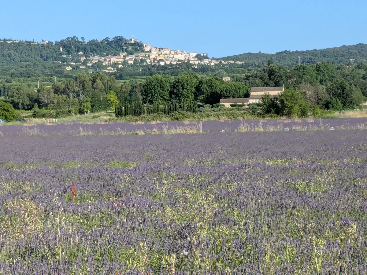
Vineyards spread across the foot of the village. In June, fields of flowering lavender also frame views of the houses above the crops.
The lower church, built to spare the climb
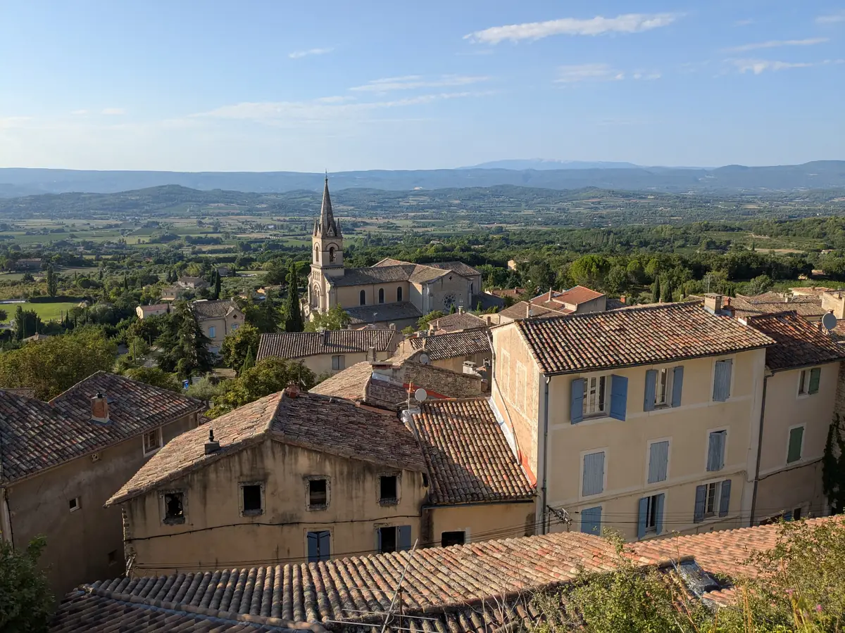
Consecrated on 24 April 1870, the Church of the Transfiguration was built in the lower village to spare parishioners a climb that had become difficult for older residents. Local people funded the new building; some contributed five francs. Its bell tower rises above the roofs near the shopping streets.
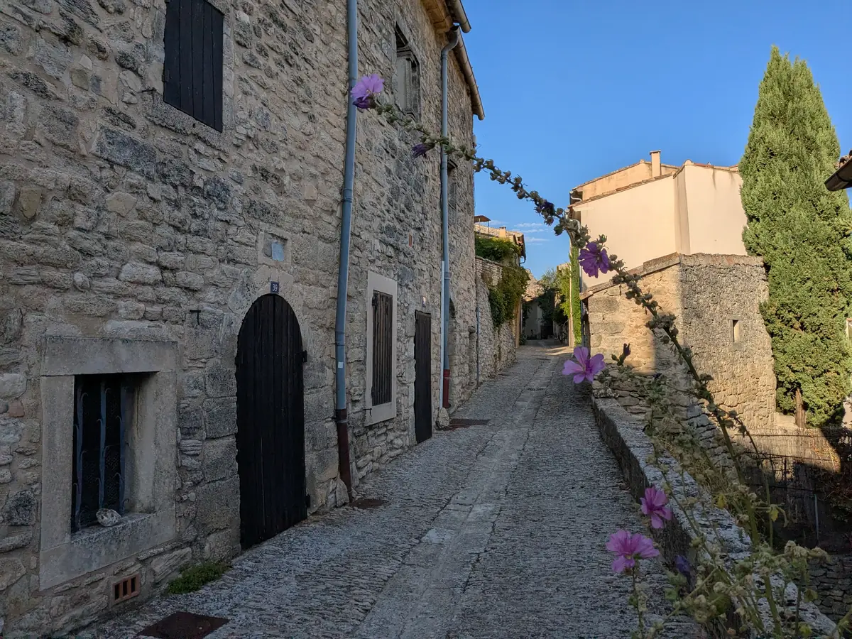
Cobbled lanes beneath the houses
In Bonnieux, some houses span the street. The covered passage pictured here reveals the thick beams and joists supporting the upper floor above a sloping cobbled lane. The street passes beneath the building before returning to daylight a few metres further on.
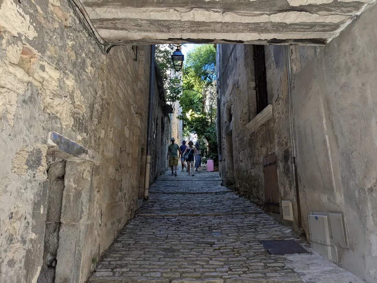
Rue Droite is one of the village’s oldest streets. Higher up, the Porte du Castellas, also called the Portail des Chèvres, retains several successive arches; a portcullis could slide between them. These remains recall the castle and defensive walls that once protected the upper village.
The steps to the hilltop church
The final flights of steps climb between low walls and trees. The bell tower and statue of the Virgin appear above the foliage.
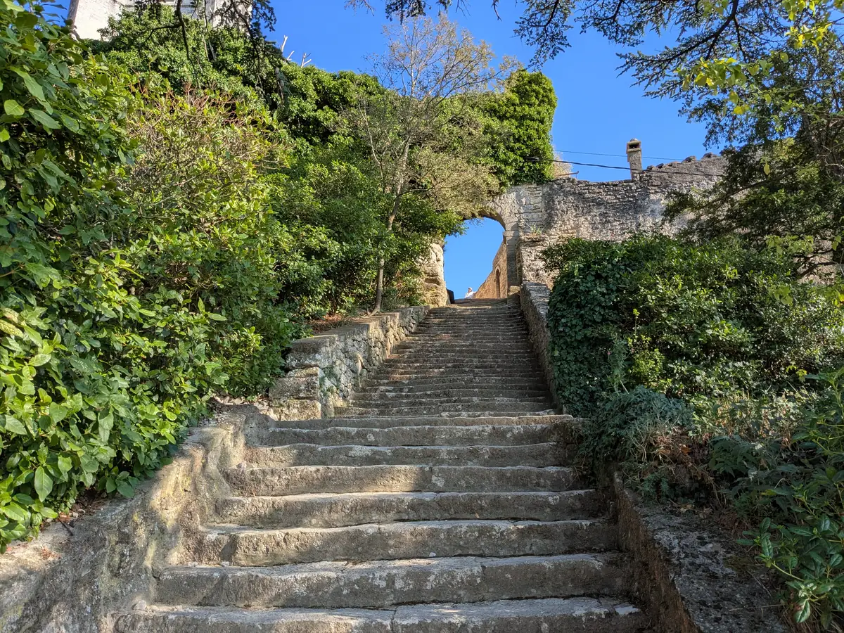
The steps lead out beside the church. You can walk around its walls, pause beneath the trees and reach the terraces overlooking the rooftops.
The old church, extended over the centuries
The Church of Saint-Gervais-et-Saint-Protais was built in the early 12th century. Its Romanesque nave was lengthened in the 15th century and chapels were added later, accounting for the building’s irregular outline.
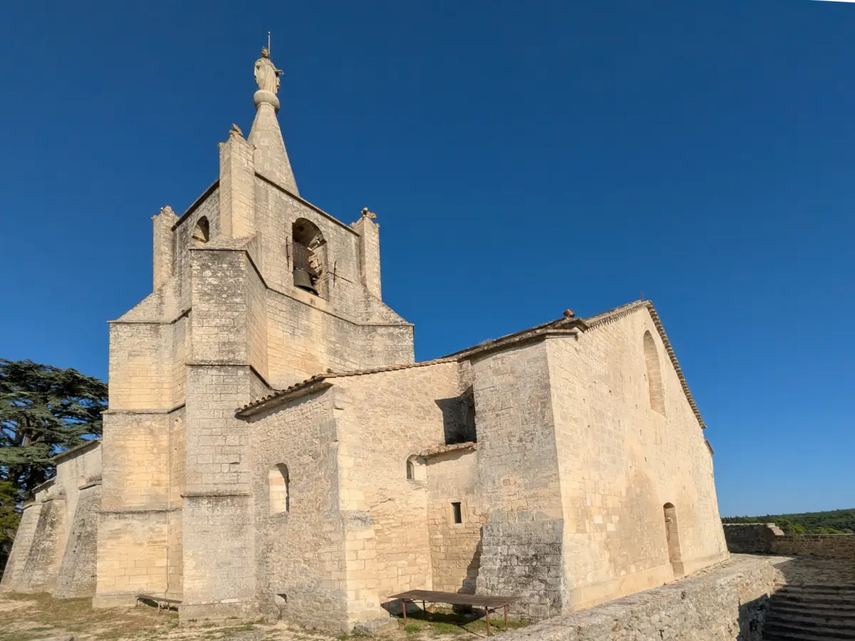
A stone statue of the Virgin was added to the bell tower in 1865, shortly before the lower church was completed. On the south side, the old entrance was sheltered from the mistral, a useful detail on this exposed hilltop. The town hall lists the church as closed for restoration. A walk around it allows you to view its shape and entrances from outside.
Beneath the trees, the former cemeteries
Around the church, large trees spread their branches above paths and terraces. These grounds also adjoin the village’s former cemeteries. The heritage panel records two successive burial enclosures; relocating the last one, to the south, prompted lengthy discussions in the 19th century.
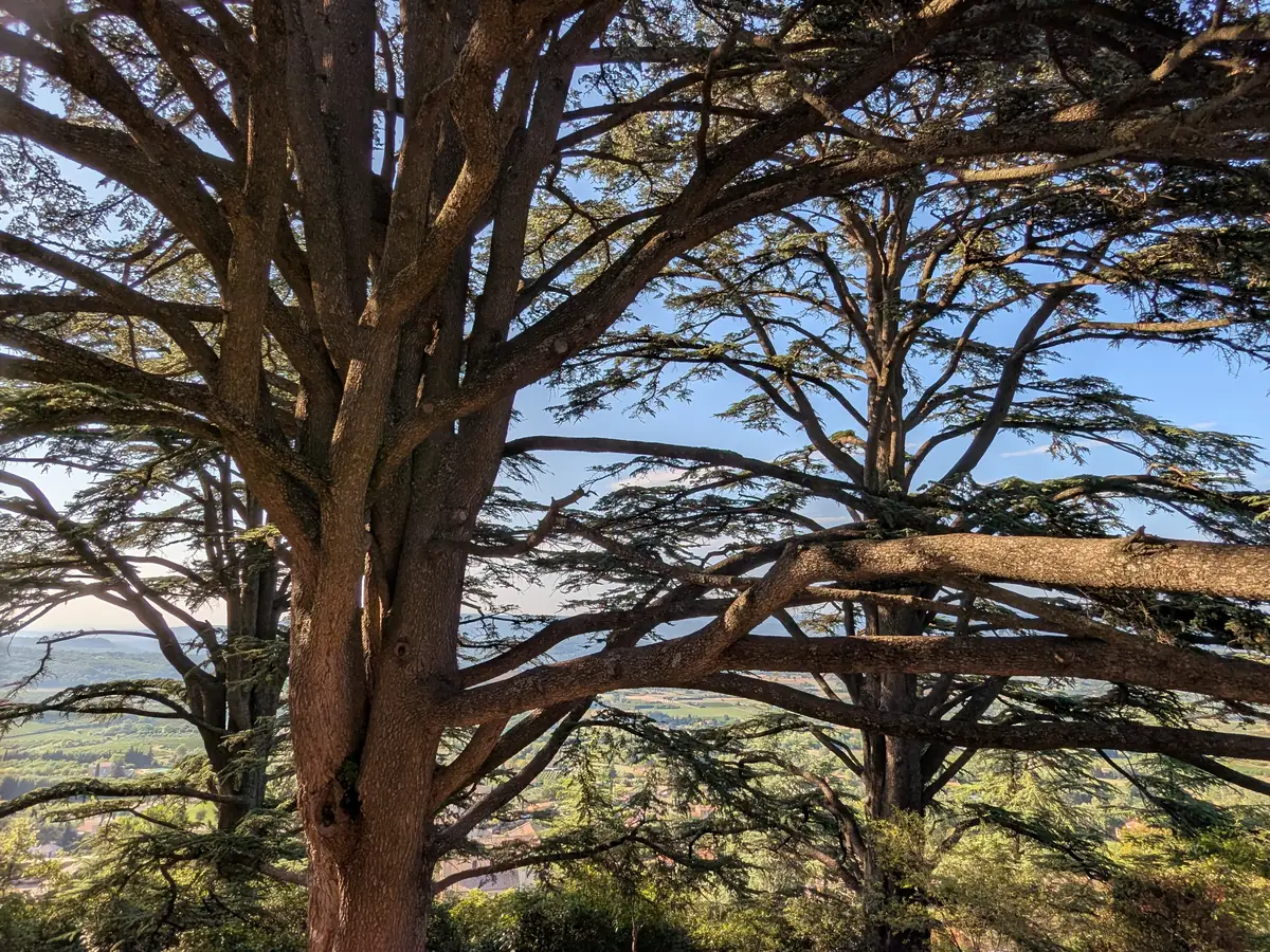
The public garden occupies this former burial ground. The small shrine, walls and nearby church still help explain how the grounds were used before becoming a place for a stroll.
Facing Lacoste across a political and religious border
To the west, Lacoste stands on the neighbouring promontory above woodland and cultivated land. Each village overlooks the Calavon plain from its own spur of the Luberon.
A border once separated these close neighbours. Bonnieux belonged to the Comtat Venaissin, under papal authority until 1791. Lacoste belonged to the County of Provence, which became part of the French Crown’s lands in 1481. Looking from Bonnieux towards Lacoste therefore meant looking towards another state.
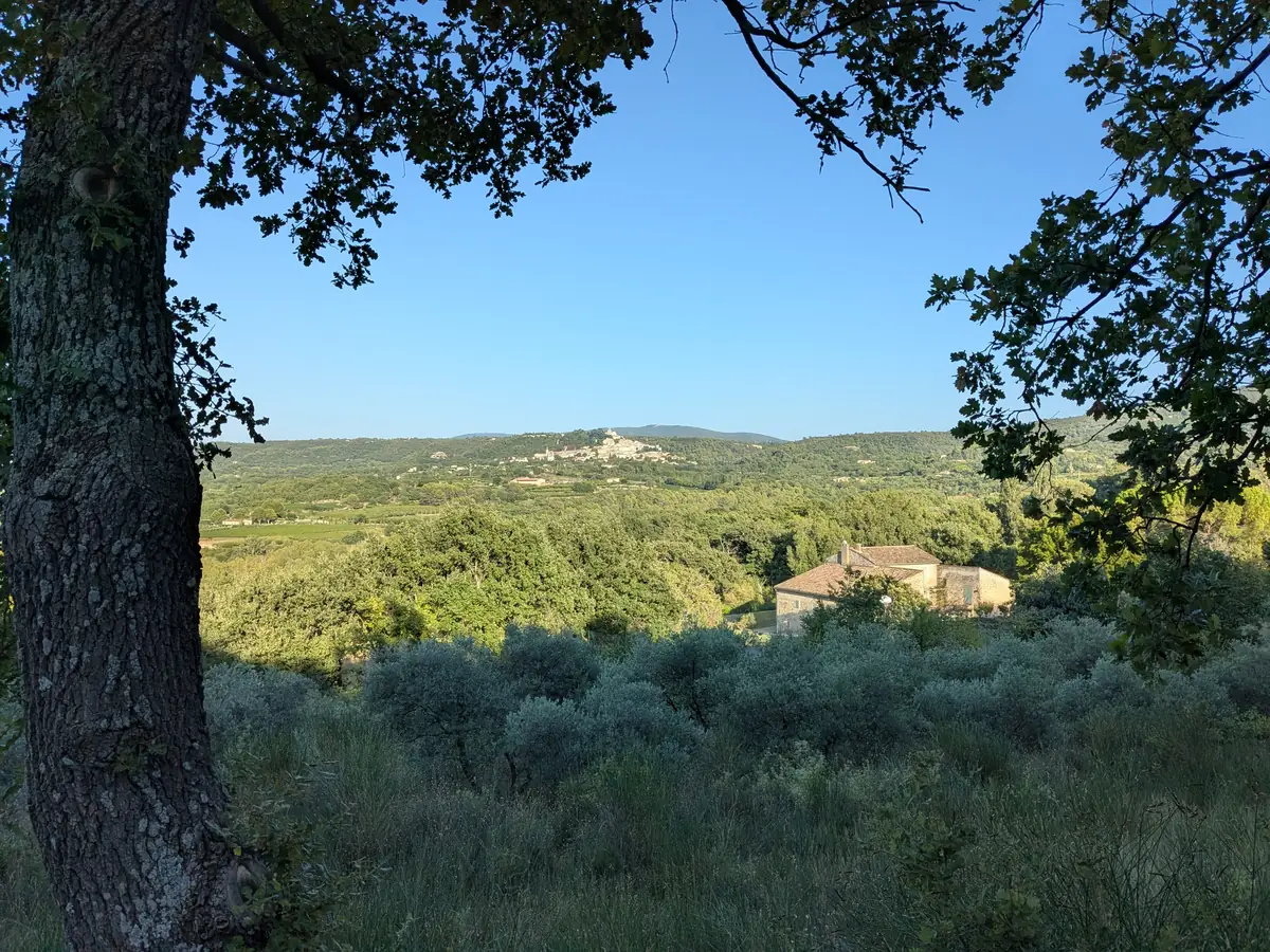
A religious divide developed alongside the political border. In the 16th century, Waldensian families settled in Lacoste, where the Reformation took lasting root, facing Catholic, papal Bonnieux. In April 1545, troops sent by the Parlement of Aix sacked Lacoste during the persecution of the Waldensians of the Luberon.
Back down towards the squares and fountains
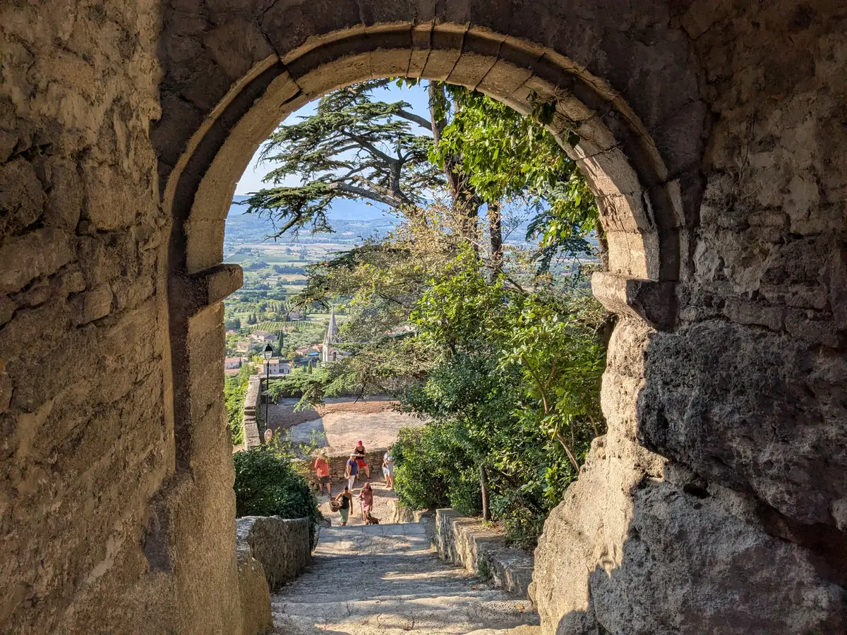
On the way down, a stone arch frames the lower church’s bell tower and the valley beyond. The steps then lead back towards the village’s rendered façades and fountains.
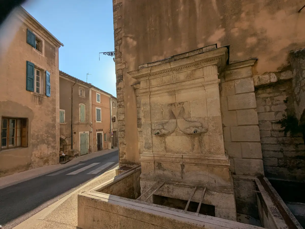
Set against a façade, the fountain pictured here stands beside the street, with its rectangular basin and carved decoration. The fountains provide landmarks on the way back towards the shops.
A Good Year in Bonnieux
The international success of A Year in Provence also helped bring Bonnieux and neighbouring villages to the attention of readers far beyond the Luberon. By the 1990s, Japanese travel agencies were organising trips to Provence in Peter Mayle’s footsteps. Some tours even took readers to the writer’s home near Ménerbes.
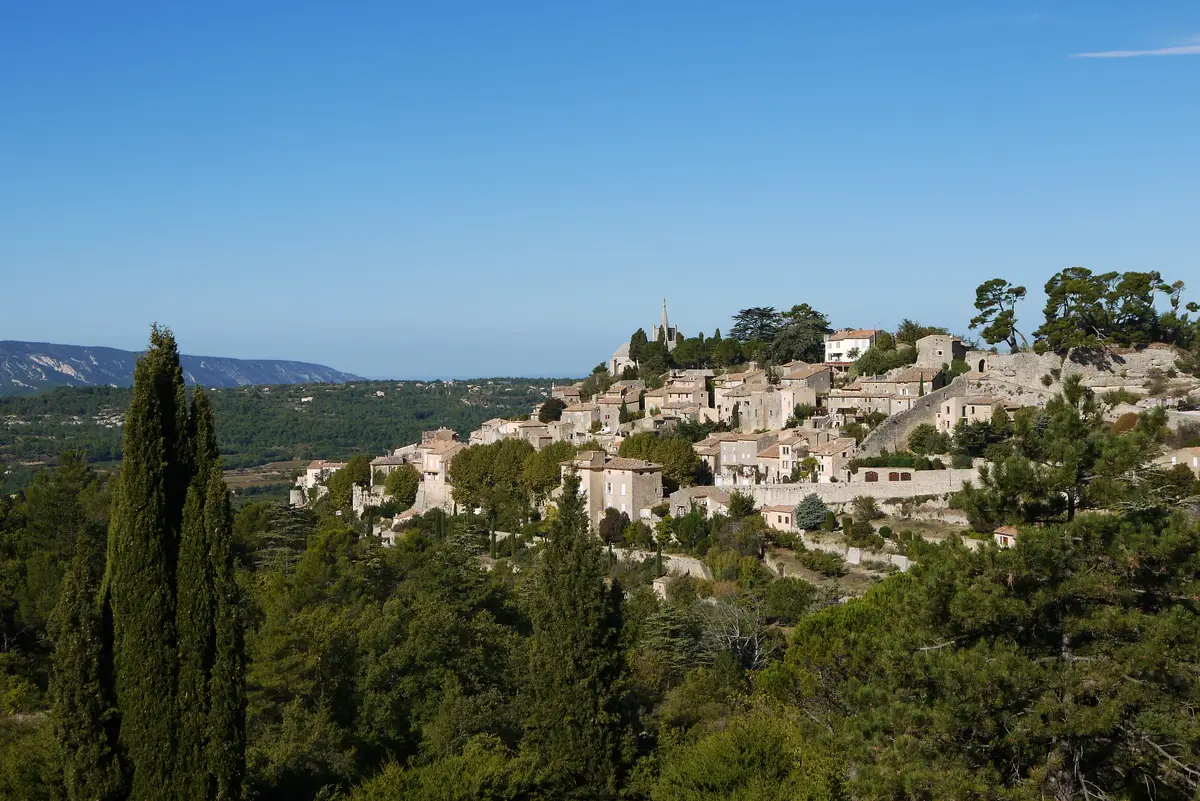
In 2006, Ridley Scott adapted Peter Mayle’s novel A Good Year for the screen, with Russell Crowe and Marion Cotillard. At the foot of Bonnieux, the buildings and vineyards of Château La Canorgue became the estate inherited by a London financier. Arriving to sell it, he discovers a way of life that gradually draws him away from finance.
Further afield: the valley, the Claparèdes plateau and the cedars
Below the village, Pont Julien crosses the Calavon on the former Via Domitia. Bonnieux overlooks a valley that was already a major route in Roman times.
Above Bonnieux, on the Grand Luberon side, the Claparèdes plateau offers a different farming landscape. In late June, rows of flowering lavender spread across these heights, away from the village lanes.
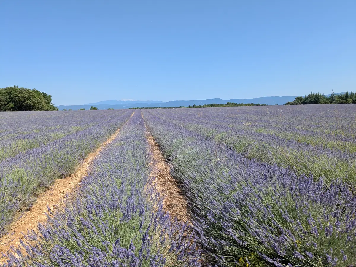
Above Bonnieux, the road reaches the Cedar Forest along the ridge of the Petit Luberon. To the south, the Combe de Lourmarin leads through to the other side of the range. For a stay near these outings, bed and breakfasts around Bonnieux and Apt are scattered through the villages and countryside of the Calavon valley.
Practical information
Planning your visit to Bonnieux
- Route and duration
- Allow one and a half to two hours for the lanes, the climb to the hilltop church and stops at the viewpoints. The walk includes slopes, cobbled lanes and many steps; any visits inside buildings take additional time.
- Access and opening
- Car parks allow you to leave your vehicle at the entrance to the village. The hilltop church is listed as closed for restoration; check opening arrangements with the town hall or tourist office before travelling. The suggested route follows the streets and grounds around the two churches.
Official websites: village map and walking route · heritage and restoration of the hilltop church.
Extend your stay
Guest houses to extend your getaway
These properties listed on the Portal are within 25 km as the crow flies of the location featured in this getaway. Visit their websites to plan your stay.

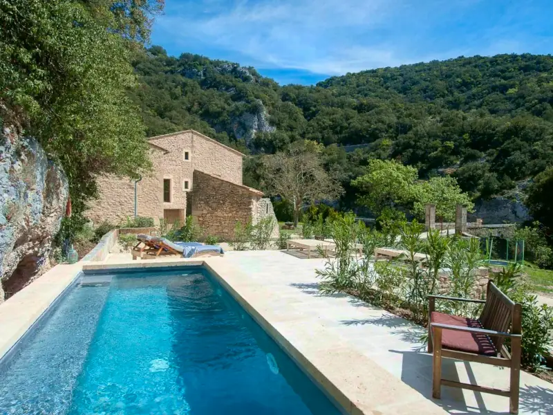
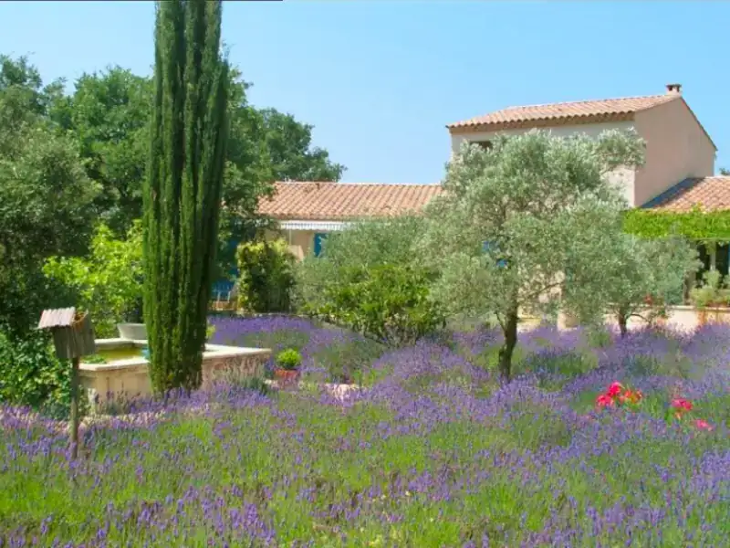


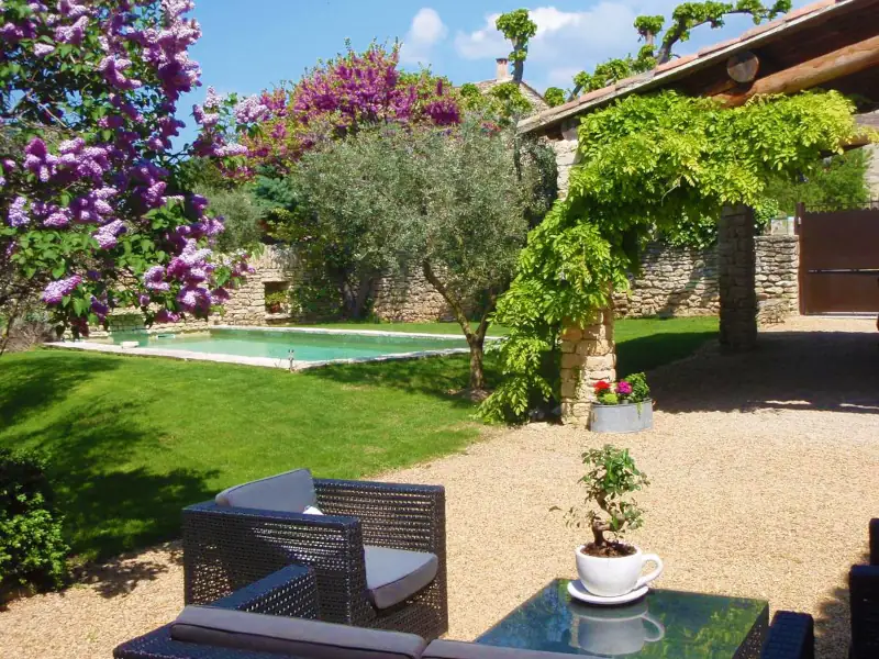
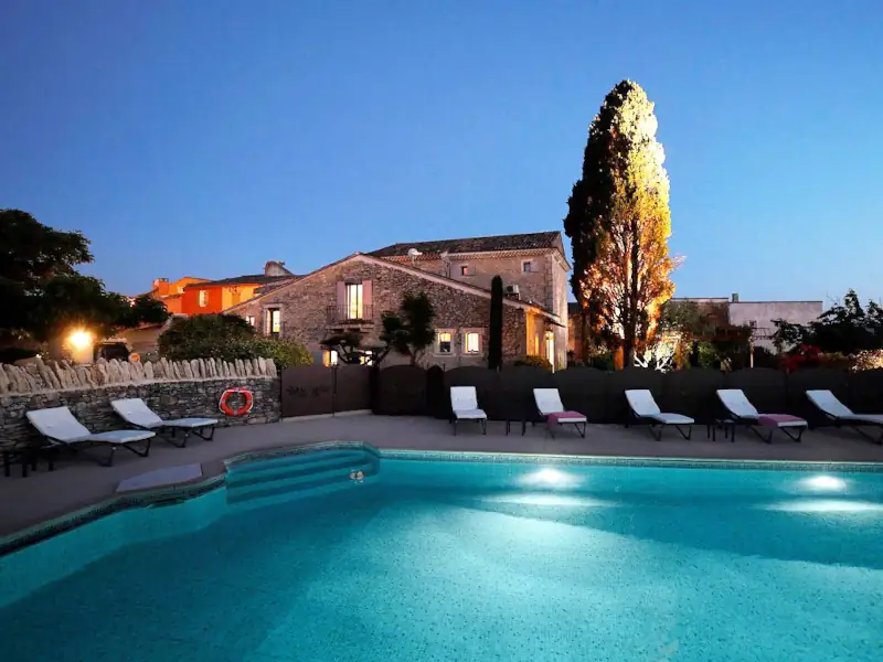
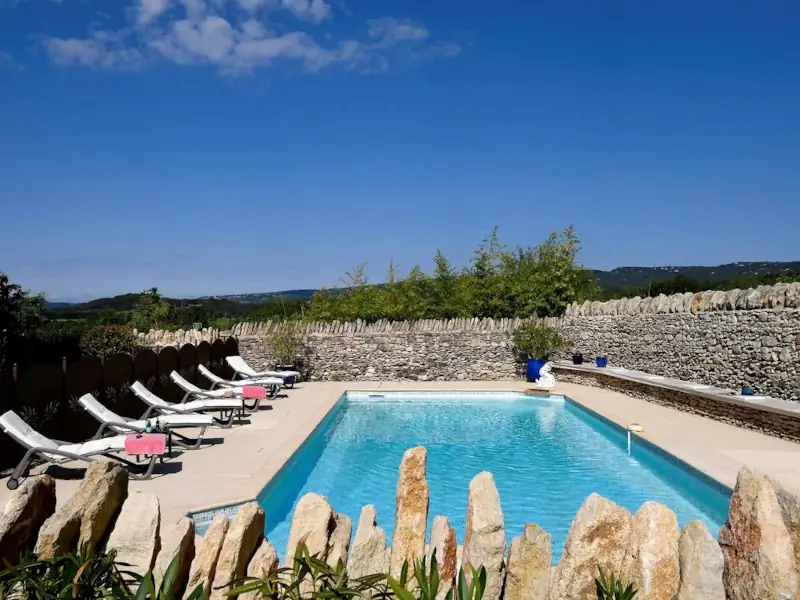
Gîte des Demoiselles
Charming Gite
Roussillon
Visit website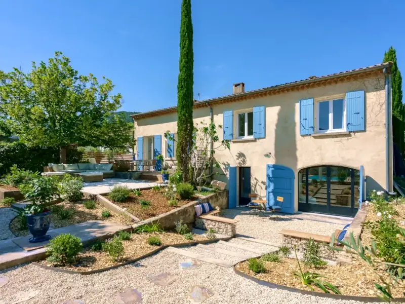

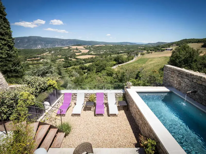
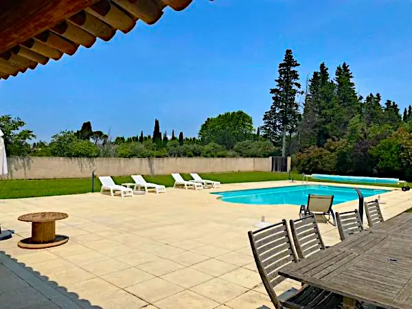
Le Pavillon du Lantana
Holiday home
Les Taillades
Visit website
La Bergerie du Luberon
Charming holiday home
Les Taillades
Visit website

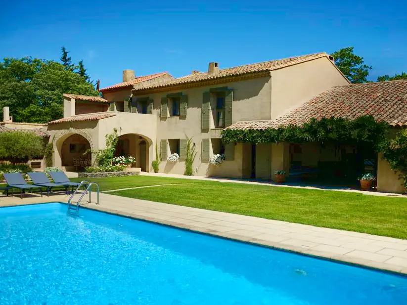
Four de Cony
Charming bed and breakfast
Saumane de Vaucluse
Visit website


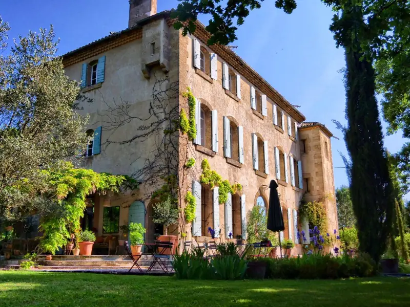
Last updated: