


Getaway in the Luberon
Combe de Lourmarin between the Petit and Grand Luberon
Text and photographs by Vincent Flachaire
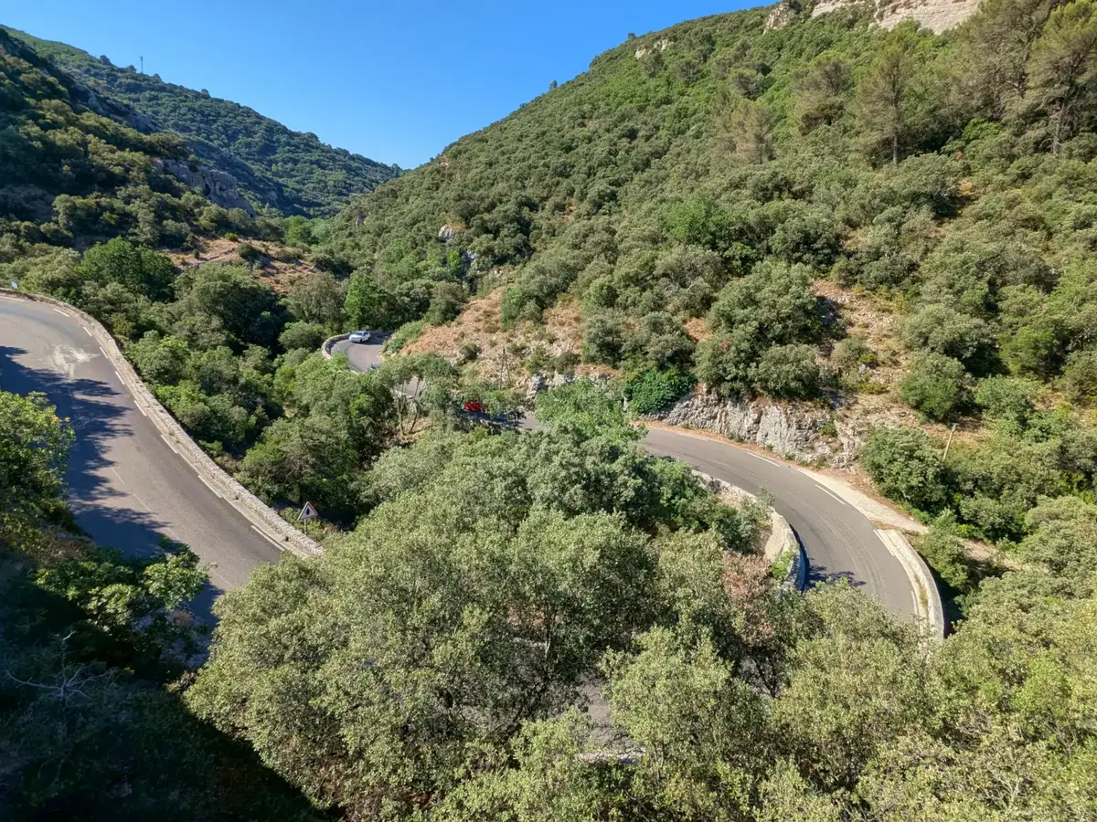
Carved by the Aigue Brun, the Combe de Lourmarin divides the Luberon into two parts and links its northern and southern slopes.
From the Pays d’Aigues to the Pays d’Apt
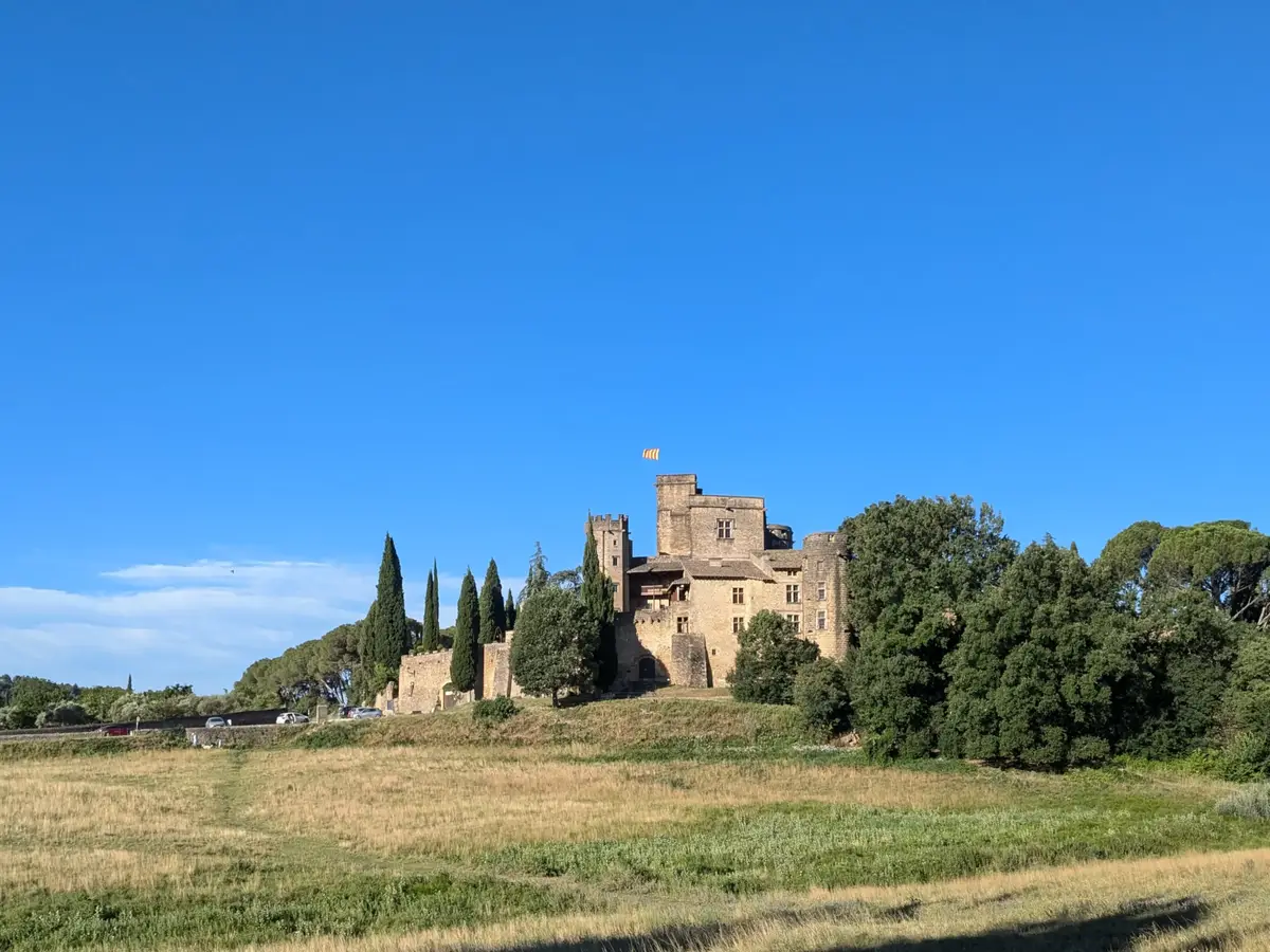
From Lourmarin, the RD 943 passes behind the château beneath the plane trees. It leaves the open landscapes of the southern slope and quickly enters a narrow gorge lined with oaks and overlooked by limestone cliffs.
The combe separates the Petit Luberon to the west from the Grand Luberon to the east. At the northern end of the passage, the road emerges into the Pays d’Apt and opens the way to Buoux, Bonnieux and the villages of the Calavon valley. From Bonnieux, another road climbs to the Cedar Forest on the Petit Luberon ridge.
The Aigue Brun, a river through the Luberon
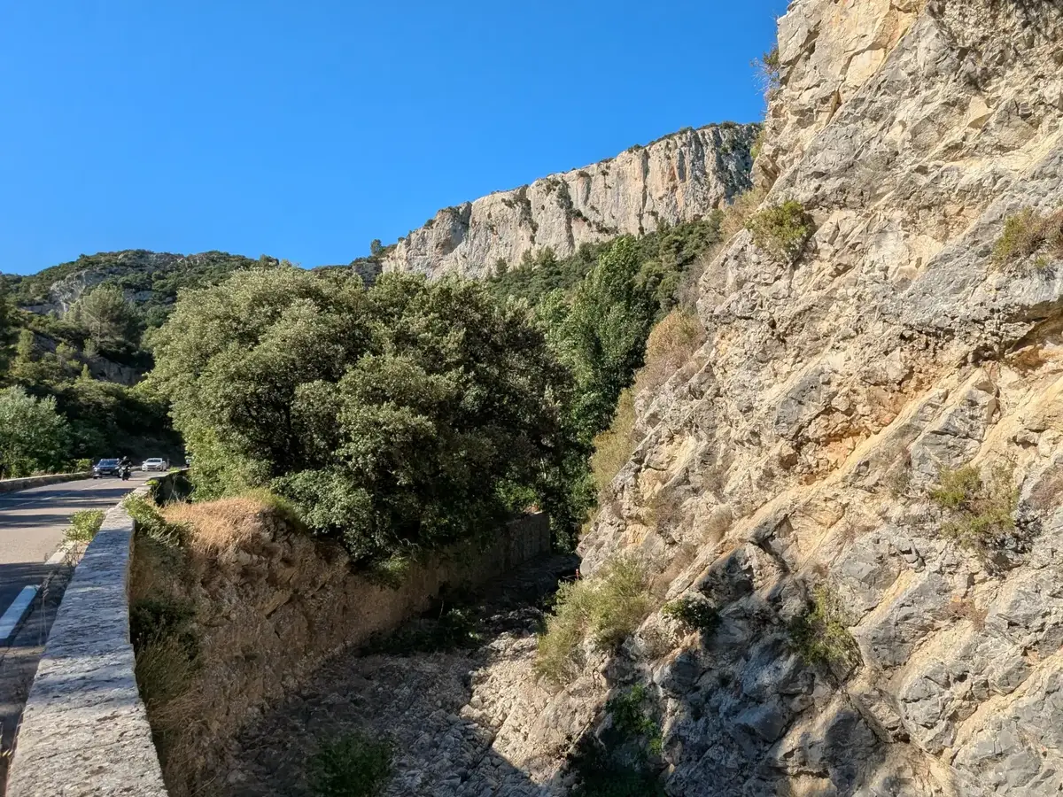
The only permanent river in the Luberon, the Aigue Brun rises near Auribeau at an altitude of 700 metres before joining the Durance. It accompanies the road, sometimes visible at the foot of the rocks and sometimes hidden beneath the oaks and vegetation on the valley floor. During low-water periods, the river disappears in places into cracks in the limestone. Over time, its course has cut deeply into the mountains and shaped the narrow passage of the combe.
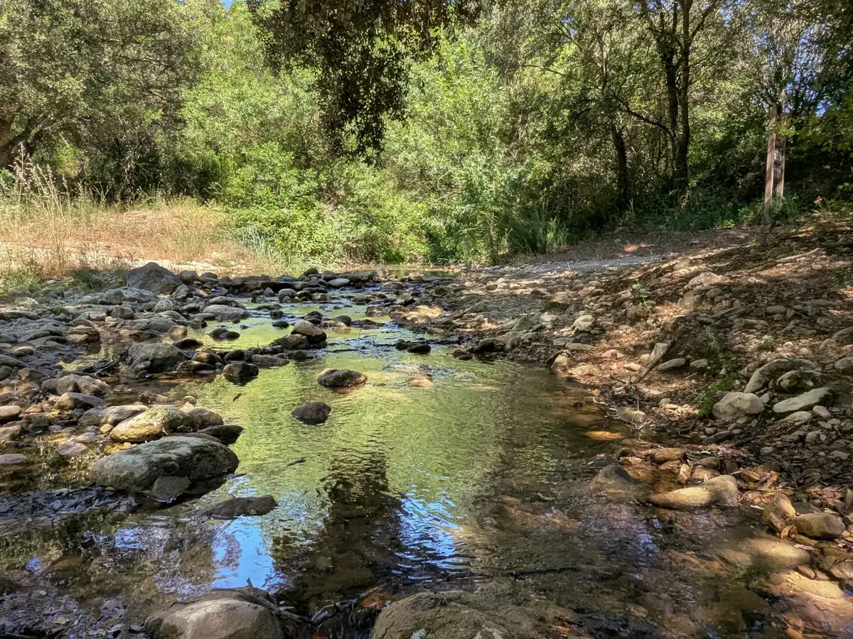
At the water’s edge, the light and cool air contrast with the drier slopes. Depending on the season and the water level, pale stones appear in the riverbed or the flow gathers in small pools beneath the leaves. Leaving the road and walking a short way down reveals the river among the stones. These fragile habitats, home to the white-clawed crayfish, are the subject of conservation measures.
The Pont à coquille of Bonnieux over the Aigue Brun
Set back from the present road, the Pont à coquille crosses the Aigue Brun on the route of the former track. Dated 1722, its stone arch and the fan-shaped structure of one abutment appear in a wooded fold of the combe.
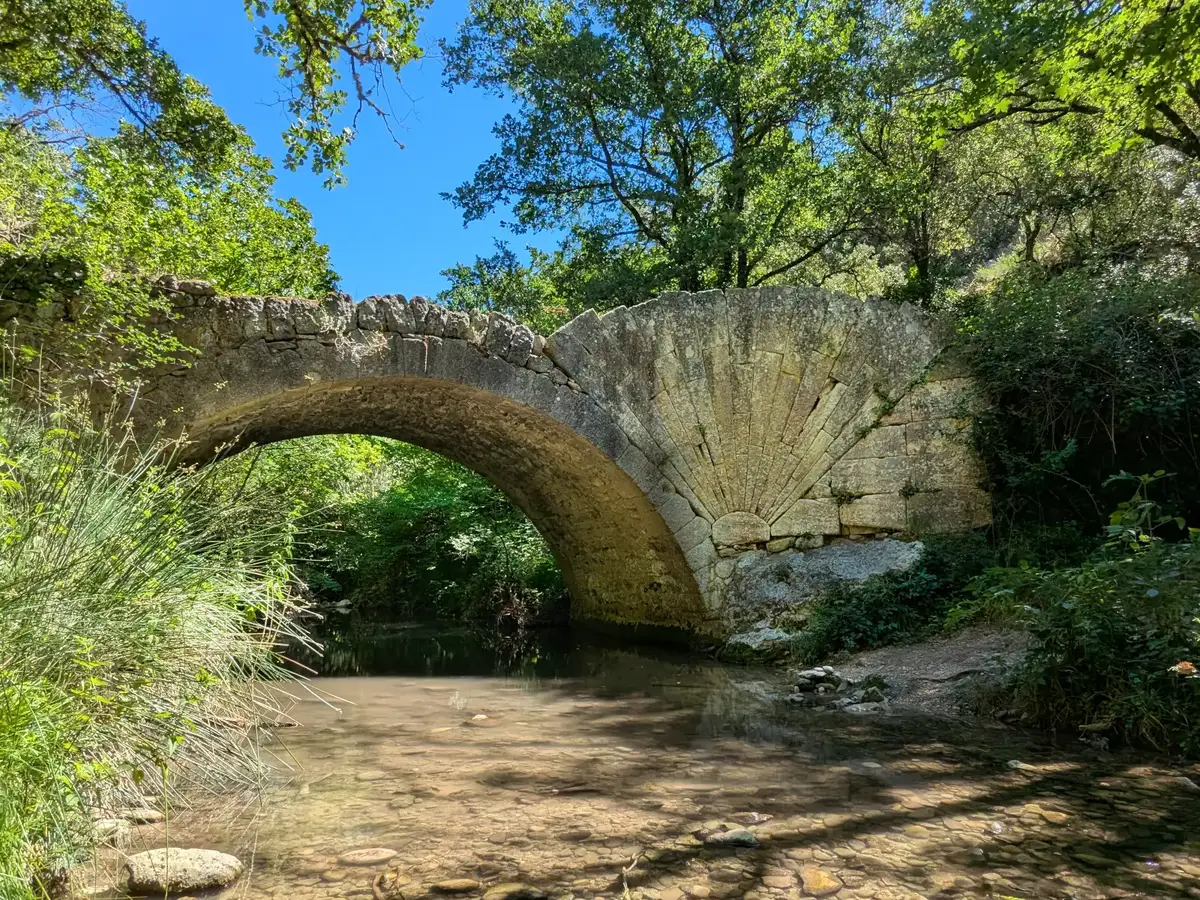
Before the present road was built, this stone bridge formed part of the passage between the two slopes of the Luberon. It can be reached on foot by a path leaving the road in the combe. A longer route also approaches it from around the former priory of Saint-Symphorien near Buoux.
Towards Lourmarin or the Calavon valley
The crossing of the Luberon by the RD 943 extends for almost 17 kilometres between Lourmarin and Apt. Within the combe, the road follows the Aigue Brun beneath the cliffs and oaks. The landscape narrows at the heart of the passage before opening out on either side of the mountains.
Northwards, the road leads to Buoux, Apt and the villages of the Calavon valley. In the other direction, it reaches Lourmarin and the villages of the Pays d’Aigues, from where the journey can continue towards Aix-en-Provence. Further east, the Mirabeau Bridge forms another geographical threshold, where routes cross the Durance towards Jouques and the Pays d’Aix.
Practical information
Exploring the Lourmarin pass
- Road and parking
- The D943 crosses the pass and links Lourmarin with Bonnieux. The road narrows in places: use only designated parking areas and continue on foot.
- Walking beside the Aigue Brun
- The La Tuilière car park gives access to the bottom of the valley, the Aigue Brun and the Auberge des Seguins. In summer, access to paths may be regulated according to wildfire risk; check conditions on the day.
Access arrangements may change. Check the Aiguebrun valley route information before you travel.
Extend your stay
Bed and breakfasts around Lourmarin for exploring the Luberon
Lourmarin, Bonnieux and the surrounding villages provide several bases for exploring both slopes of the Luberon and crossing the combe. The portal favours direct links to owners’ websites.
These properties listed on the Portal are within 25 km as the crow flies of the location featured in this getaway. Visit their websites to plan your stay.
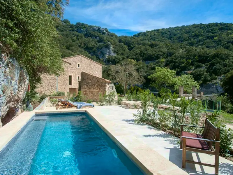


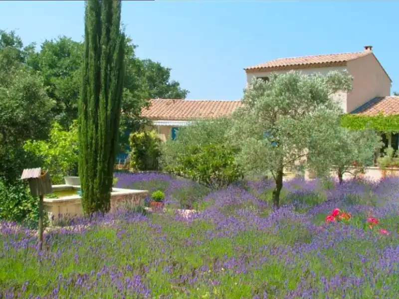


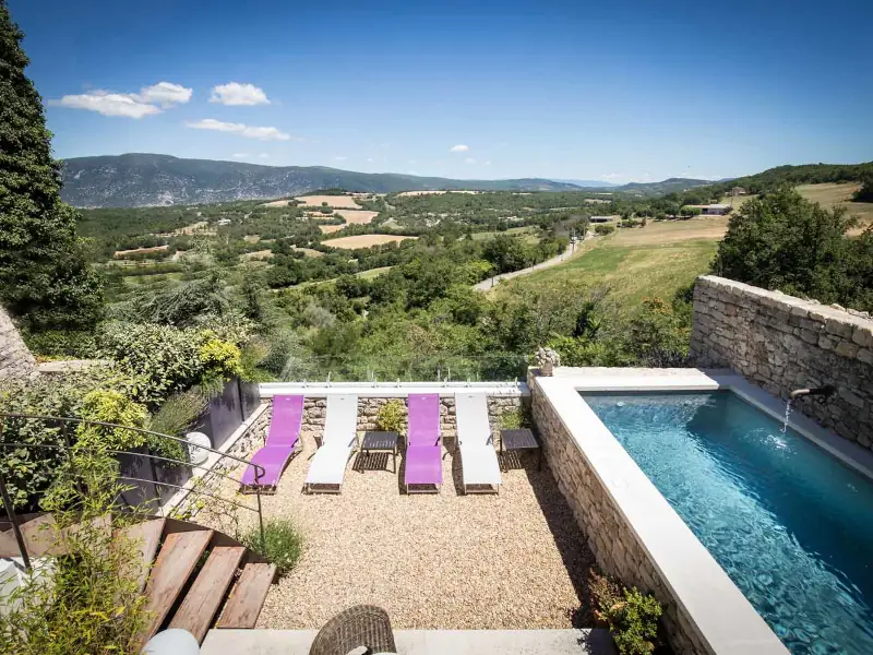
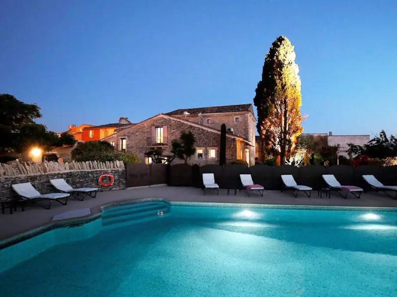
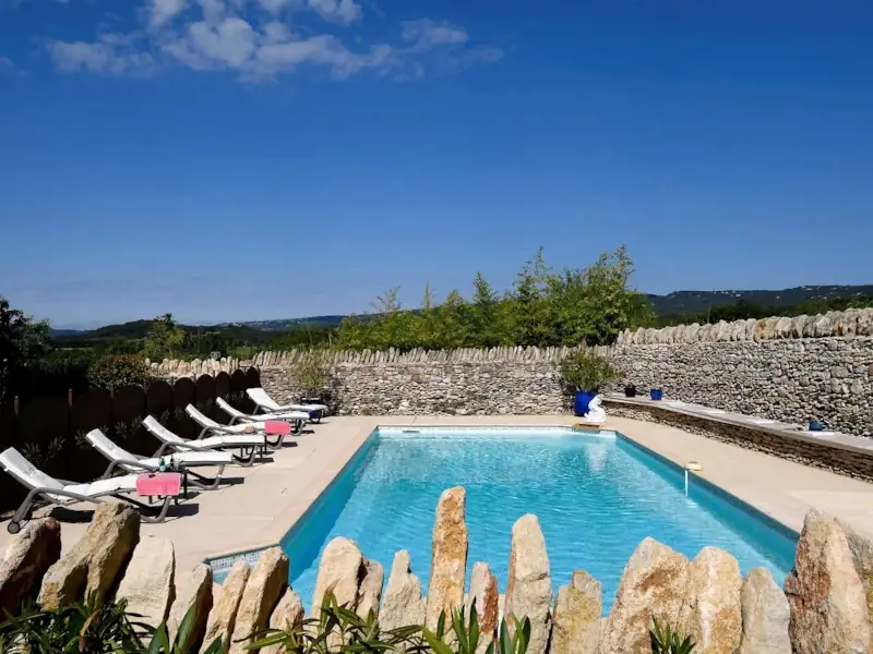
Gîte des Demoiselles
Charming Gite
Roussillon
Visit website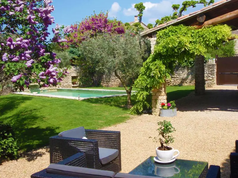
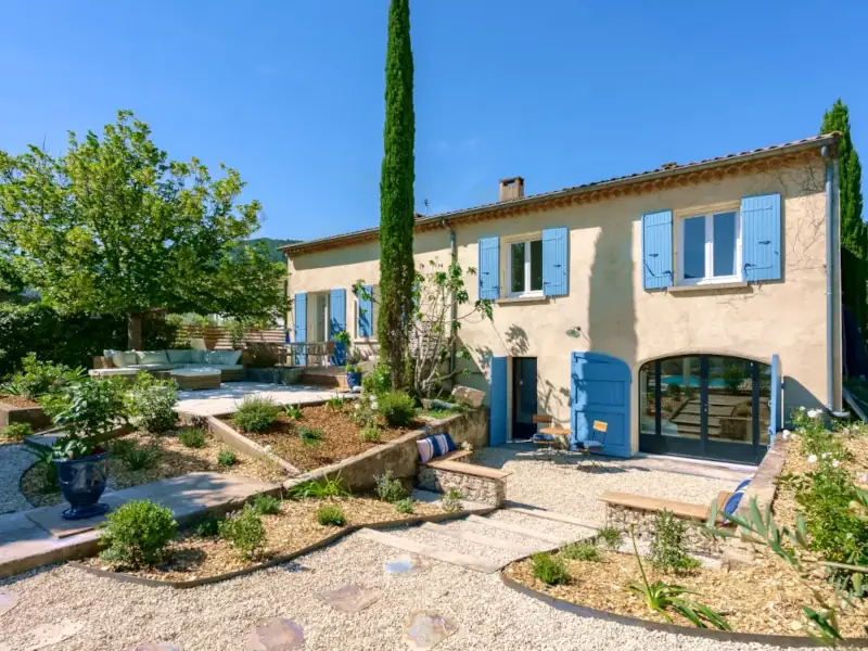
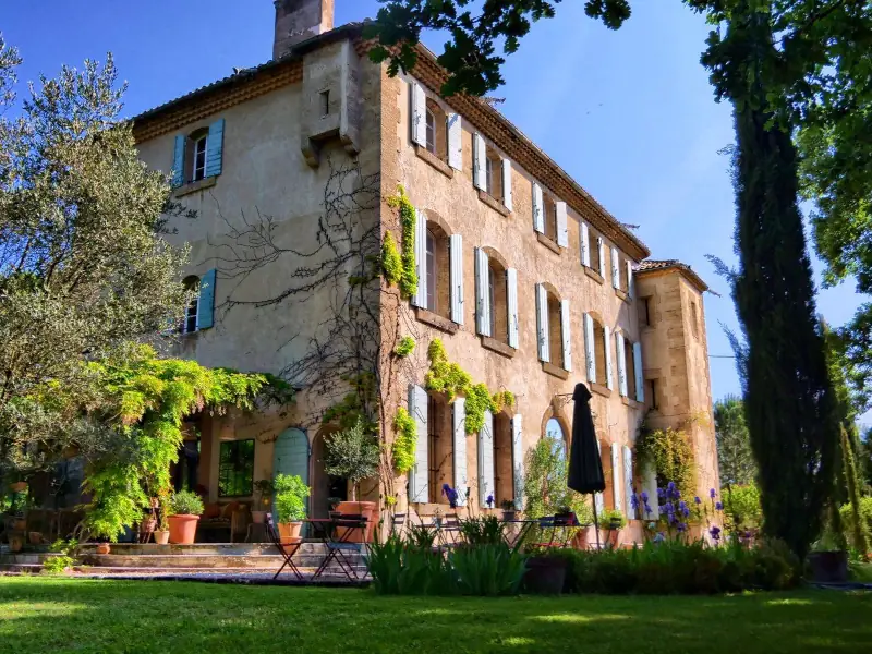
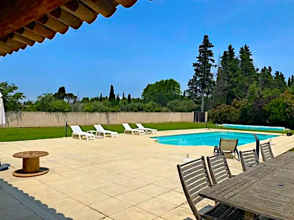
Le Pavillon du Lantana
Holiday home
Les Taillades
Visit website
La Bergerie du Luberon
Charming holiday home
Les Taillades
Visit website

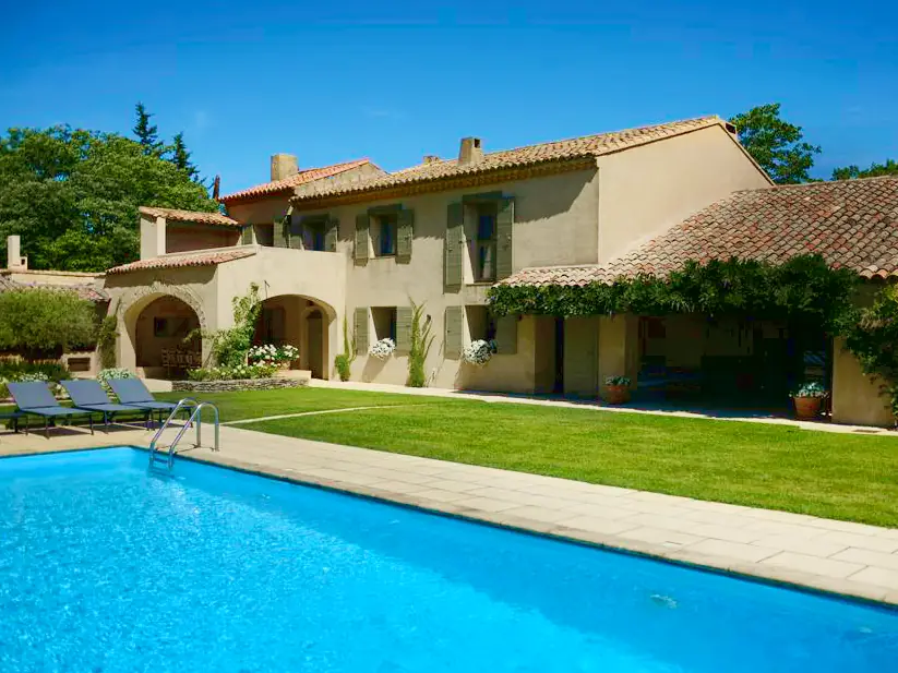
Four de Cony
Charming bed and breakfast
Saumane de Vaucluse
Visit website