Getaway in the Luberon
The Cedar Forest on the Petit Luberon ridge
Text and photographs by Vincent Flachaire
Above Bonnieux and Lacoste, a forest planted in the 19th century has spread across the summit plateau of the Petit Luberon.
Atlas cedars introduced in the 19th century
Foresters introduced the first cedars to a few hectares of the summit plateau around 1860. Native to the Atlas Mountains, they adapted to the altitude, limestone soil, Mistral wind and dry summers of the Petit Luberon. The forest then spread naturally and now covers more than 250 hectares.
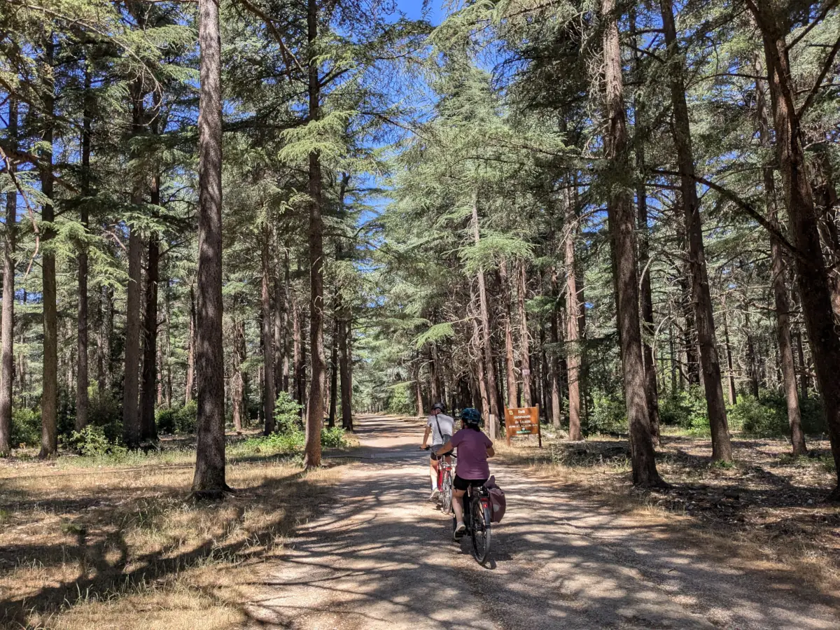
Some of the oldest trees stand out for their powerful trunks and widely spreading branches. Beneath their canopy, light filters through in patches, alternating dark shade, russet needles on the ground and the brighter green of young shoots.
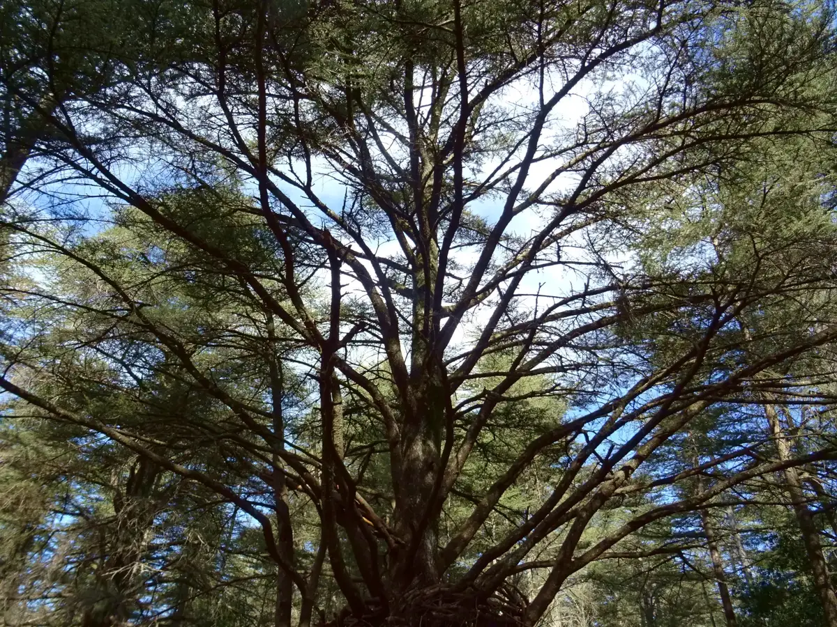
Walking beneath the cedars
From the entrance to the forest, the track runs beneath the trees. A little further on, a discovery trail follows a narrower route through the woodland.
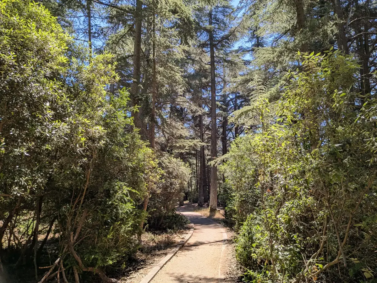
The quiet of the woodland, the scent of the needles and the height of the trunks contrast with the neighbouring oak woods and garrigue. This trail allows visitors with reduced mobility to explore part of the forest. Other paths continue towards the forest edges and viewpoints over more uneven ground.
The Calavon valley from the Petit Luberon
On the northern side of the ridge, the forest breaks and the view opens towards Bonnieux, Lacoste and the Calavon valley. Fields and villages occupy the foreground. Beyond them rise the Monts de Vaucluse and the outline of Mont Ventoux.
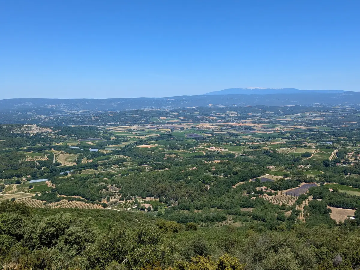
This opening reveals the scale of the relief: the cedar forest occupies the summit plateau of the Petit Luberon, high above the villages on the northern slope. It forms a wooded landmark on a ridge where pale limestone and low vegetation quickly return beyond the forest edge.
Continuing along the Petit Luberon ridge
A partly paved DFCI fire-service track, closed to motor traffic, follows the Petit Luberon ridge to its western end before descending near Cheval-Blanc. It offers views over the Calavon valley to the north and the Durance valley and Sainte-Victoire to the south, with the Alpilles visible to the west. The plateau is gently undulating, while steep valleys cut into both sides of the ridge.
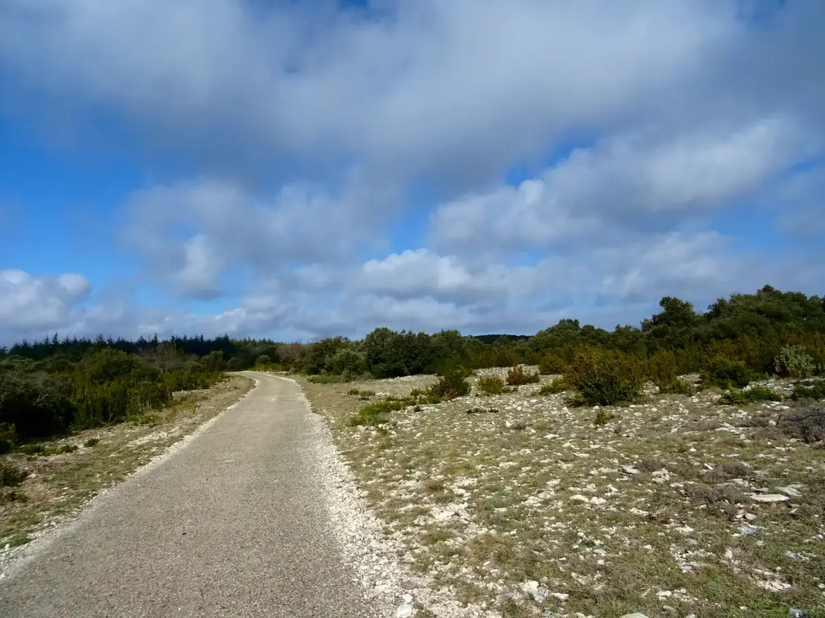
Beyond the forest, the vegetation opens into dry grassland and garrigue maintained by grazing herds. These habitats support rich biodiversity and form part of the hunting territory of Bonelli’s eagle, which nests in the cliffs of the Petit Luberon.
A getaway above Bonnieux
From Bonnieux, the road to the forest branches off the Lourmarin road and climbs the slopes of the Petit Luberon before reaching the cedars at an altitude of 700 metres. A walk here can extend a visit to Bonnieux, Pont Julien in the Calavon valley or Lacoste.
Further south, the Combe de Lourmarin leads towards Lourmarin and the Pays d’Aigues. In summer, access conditions in the hills vary according to the wildfire risk. It is advisable to check that the forest is open on the day of a visit.
Extend your stay
Bed and breakfasts around Bonnieux and Lourmarin for exploring the Luberon
The forest is reached directly from Bonnieux. From Lourmarin, the combe crosses the mountains before meeting the road to Bonnieux. The portal favours direct links to owners’ websites.
These properties listed on the Portal are within 25 km as the crow flies of the location featured in this getaway. Visit their websites to plan your stay.




Gîte des Demoiselles
Charming Gite
Roussillon
Visit website
Le Pavillon du Lantana
Holiday home
Les Taillades
Visit website
La Bergerie du Luberon
Charming holiday home
Les Taillades
Visit website


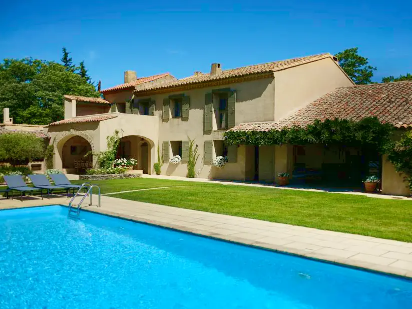
Four de Cony
Charming bed and breakfast
Saumane de Vaucluse
Visit website