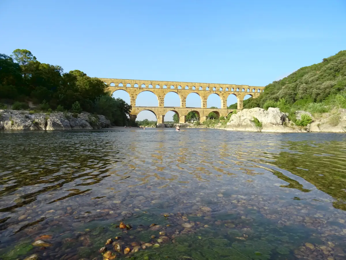
The Pont du Gard lies in the Gard, between Uzès, Nîmes and the Gorges du Gardon. Listed as a UNESCO World Heritage site, it is the most visible section of the Roman aqueduct that carried water from the Eure spring near Uzès to Nîmes.
A Roman structure from the 1st century
Built in the 1st century AD, the aqueduct followed a route of about fifty kilometres. The Pont du Gard allowed the channel to cross the Gardon valley while keeping the very slight gradient required for water flow. Its three levels of arches show Roman technical precision and the importance of water supply in ancient cities.
The site and viewpoints
The monument can be seen from the Gardon banks, the limestone plateau paths and the area around the channel. Viewpoints change with light, river level and season. The museum and interpretation areas help place the bridge within the whole aqueduct, rather than treating it as an isolated structure.
Around the Pont du Gard
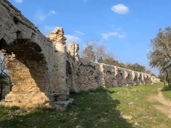
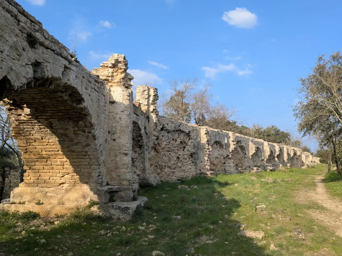
The site can be combined with Castillon-du-Gard, Remoulins, aqueduct remains or the banks of the Gardon. In summer, the river attracts swimmers and canoeists, but visitor numbers and access conditions require some planning.
The Pont du Gard is also explored within its landscape: both banks and nearby paths reveal different views of the arches. Distinguish outdoor walks from visitor spaces and on-site activities, checking their arrangements.



 Meals with the hosts