An escape to Mont Ventoux
The summit of Mont Ventoux, a viewpoint over Provence
Text and photographs by Vincent Flachaire
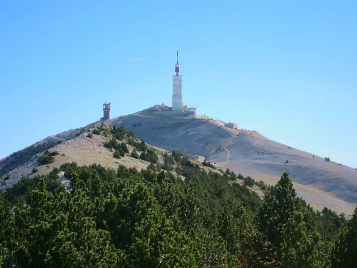
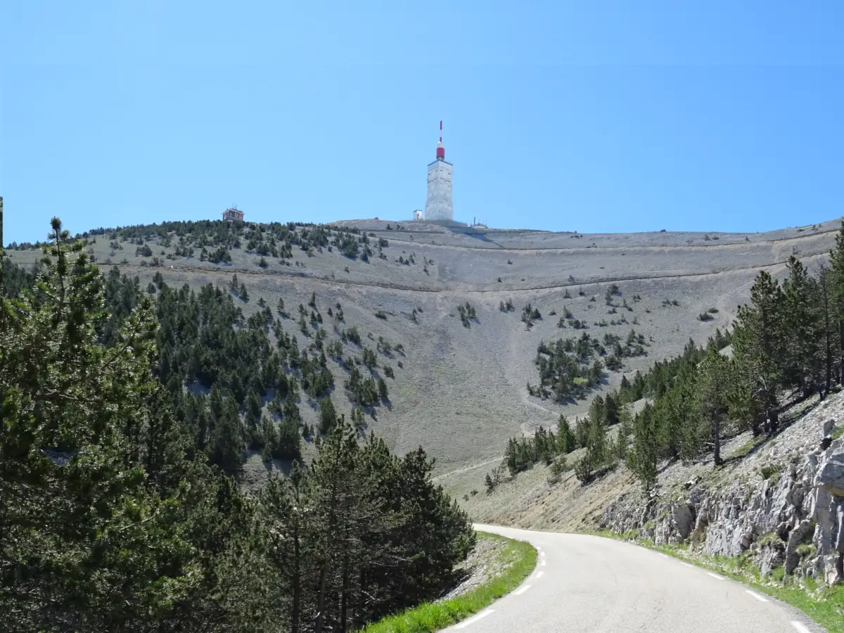
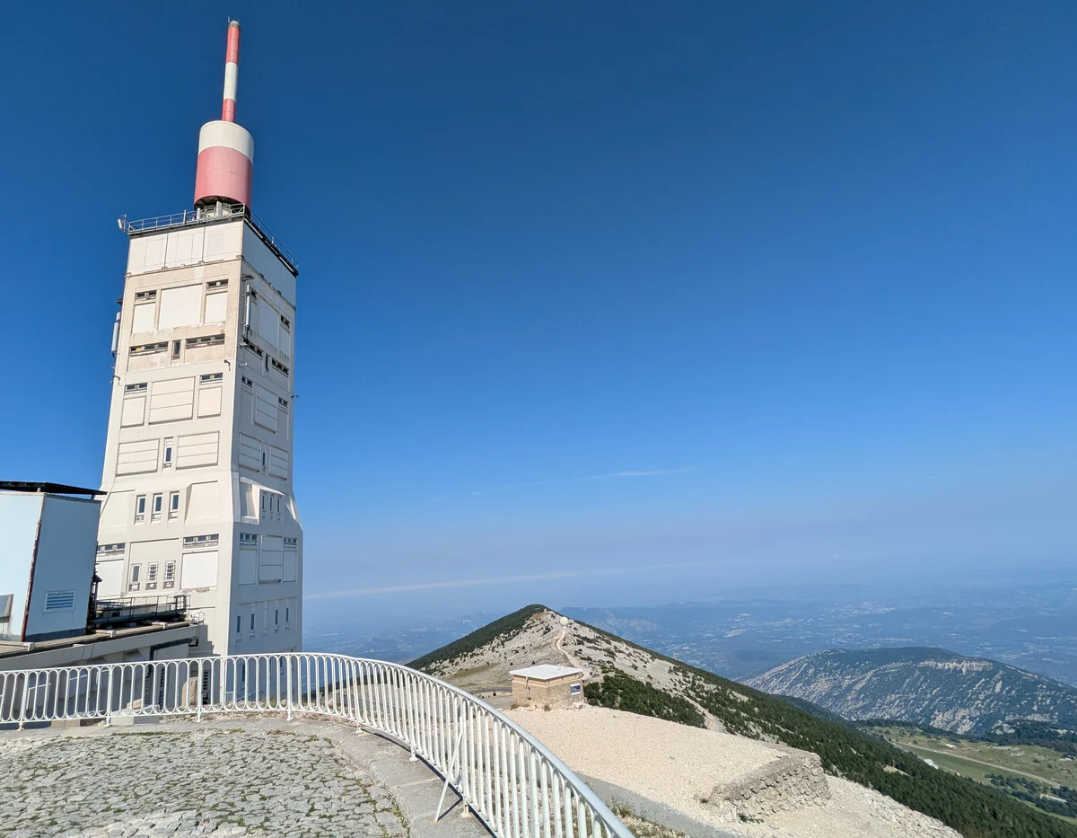
Beyond the forest, the hairpin bends climb through a desert of white limestone, an almost lunar landscape, to the summit tower. Up there, visitors pause to take in the Alpine ranges and the hills and plains of Provence.
From wooded slopes to the limestone summit
Mont Ventoux rises above northern Vaucluse, between the Comtat Venaissin plain, the Toulourenc valley and the Sault plateau. Its summit, at 1,910 metres, stands apart above the Rhône valley. From a distance, the pale limestone can look like snow, even in the middle of summer.
Three roads lead to the summit. From Bédoin, the climb passes through the forest before emerging at Chalet Reynard; the road from Sault joins the same chalet from the east. From Malaucène, the road passes through Mont Serein. Above the last beeches and pines, the trees fall away and the final hairpin bends cross the scree.
A mountain between Mediterranean and Alpine climates
Over just a few kilometres, altitude changes the conditions for life. The wooded slopes give way to low plants scattered among the stones, exposed to cold, sunshine and wind. Some of the plants higher up are survivors of the glacial periods. This sequence of habitats, from Mediterranean vegetation to upland grasslands, led to the recognition of Ventoux as a UNESCO biosphere reserve in 1990.
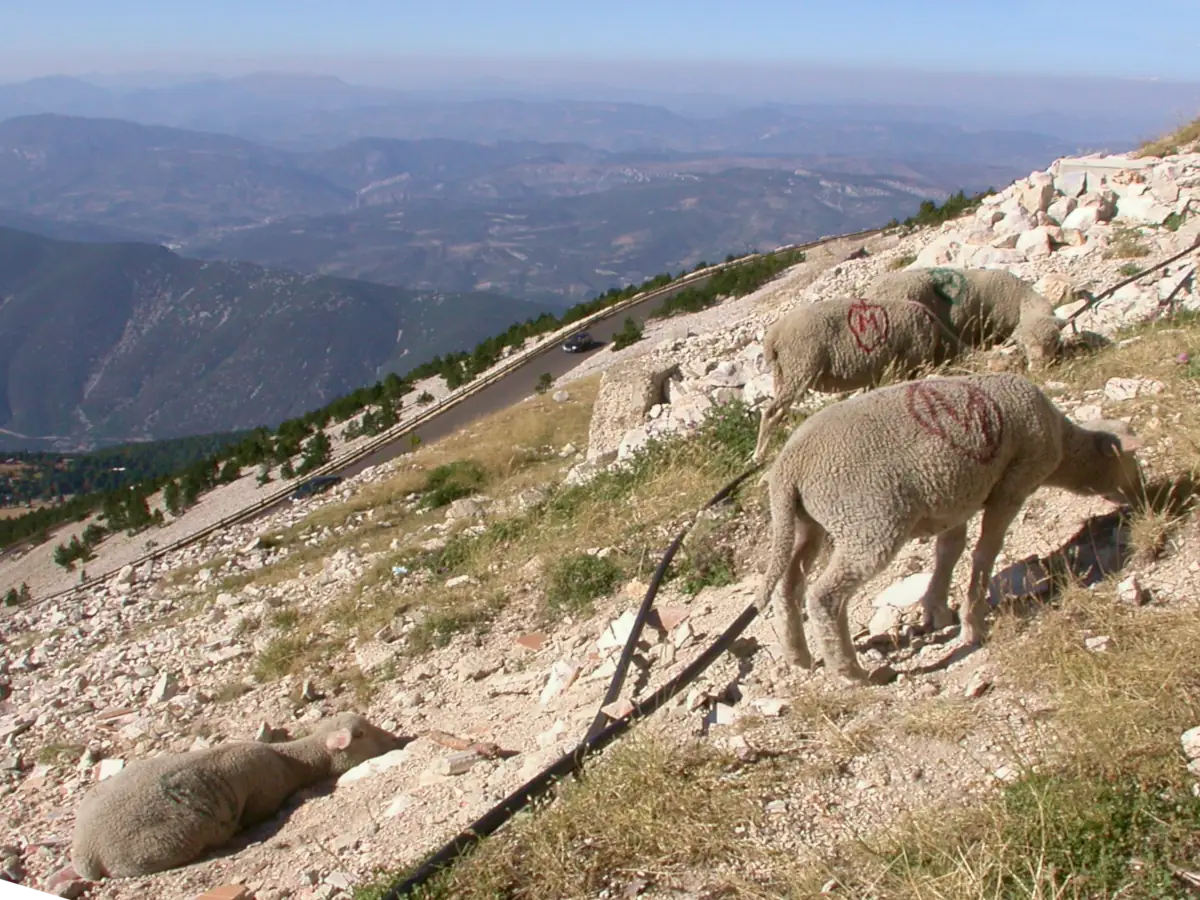
Flocks recall another use of the mountain. On the open slopes, sheep move among the stones, high above the cultivated plains. The designated paths allow visitors to explore these habitats while limiting trampling of the fragile vegetation.
Reading the landscapes of Provence from the summit
To the south, the view opens onto the Luberon and Alpilles, which form landmarks in the landscape; to the west, the Rhône valley separates Provence from the Cévennes. To the north and east, the mountains of the Drôme Provençale unfold towards the great Alpine ranges. How clearly they appear depends on the weather: a southerly wind blurs the horizons, while the mistral clears the sky.
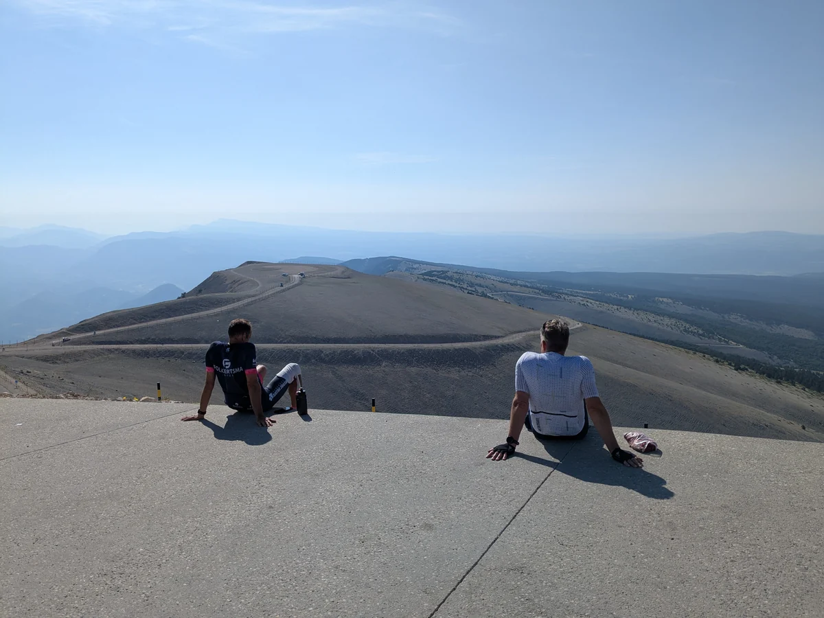
On the forecourt, cyclists arrive, get off their bikes and take in the panorama. Around the tower, the pedestrian areas and steps redesigned in 2021 guide the walk; interpretation panels explain the surrounding terrain, the extreme climate and life at the summit.
An observatory in the breath of the mistral
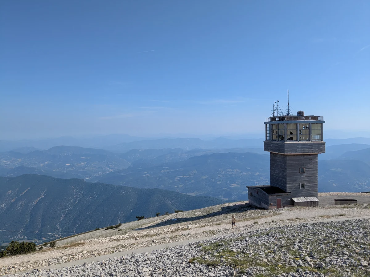
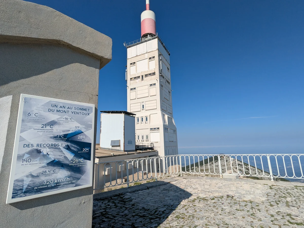
A meteorological observatory was established at the summit in 1882. Its instruments measured temperature, humidity, pressure, precipitation and wind in conditions that could damage them. The panel at the rotunda describes how ice and gusts put the equipment to the test. A tunnel connected the observatory to the platform; two doors facing opposite directions allowed observers to step outside without facing directly into the wind.
The tower remains the most visible landmark at the summit. Sensors installed in 2016 renewed the tradition of weather observation. The rotunda panel gives an average July maximum temperature of 21°C. It recalls a gust of 320 km/h recorded in 1967. These figures convey how exposed the site is: even in summer, cold and wind can cut a visit short.
The final kilometres for cyclists
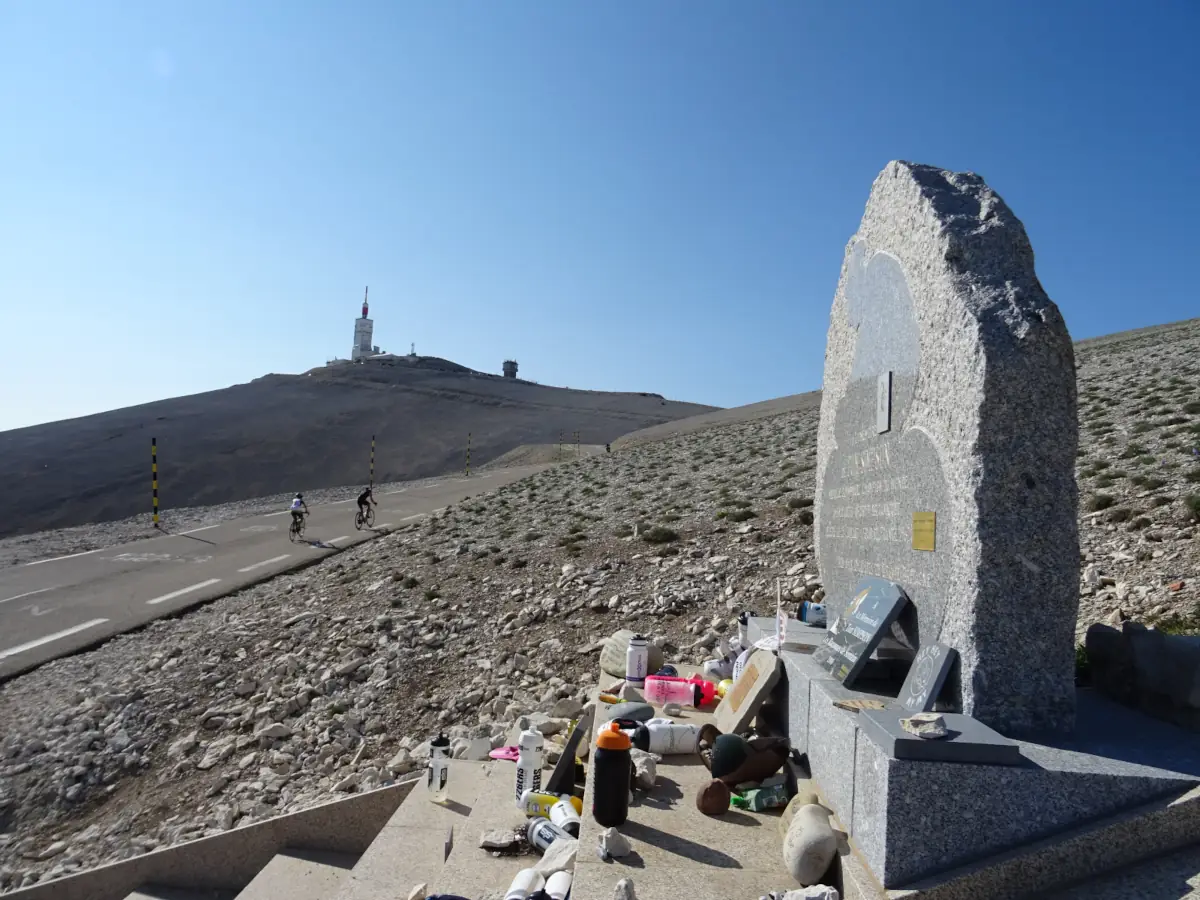
Cyclists set off along the roads of Ventoux to reach the summit. After the final bends, they gather near the summit sign to take a photograph. The climb requires appropriate training: alongside the gradient, the heat at the foot of the mountain and the wind over the final kilometres make the ascent harder.
In 1908, Jacques Gabriel won the first cycling race on Ventoux in 2 hours 29 minutes. The Tour de France first climbed the mountain in 1951. On the Bédoin road, the Tom Simpson memorial recalls the British rider’s death during the stage of 13 July 1967. It gives these final slopes a particular place in cycling history.
Exploring further at the foot of Ventoux
From the summit, three roads lead back to different landscapes. Bédoin and Malaucène open onto the villages and vineyards of the foothills. Around Sault, the lavender fields of the Albion plateau line the summer routes, while the Nesque gorges offer another journey through the landscape, this time deep within a canyon.
On the northern side, Brantes faces the mountain from the Toulourenc valley. A stay around Mont Ventoux combines a summit visit with these villages and their surroundings, leaving you free to choose the day of your ascent according to the weather.
Practical information
Reaching the summit and exploring the viewpoints
- How far does the road go?
- When open, the roads from Bédoin, Malaucène and Sault reach the summit. The upper sections close in winter: road access then ends at Chalet Reynard on the southern side and Mont Serein on the northern side. Closing and reopening dates depend on conditions; check before setting out.
- Where can you park?
- Use the signed, authorised parking areas near the summit: RD 974 and Tempêtes on the Chalet Reynard side, and Radôme on the Malaucène side. The former observatory forecourt is reserved for pedestrians and cyclists; reach it from the parking areas.
- What are the paths like?
- The summit route combines paved areas, steps and stony paths, with changes in elevation. Bring sturdy shoes, water and warm clothing, even in summer. Stay on the marked paths to protect the scree habitat; avoid an exposed walk in strong winds, snow or ice.
Before visiting, check access conditions, the Park’s summit map and the summit weather.
Extend your stay
Guest houses to extend the getaway
These properties listed on the Portal are within 25 km as the crow flies of the location featured in this getaway. Visit their websites to plan your stay.
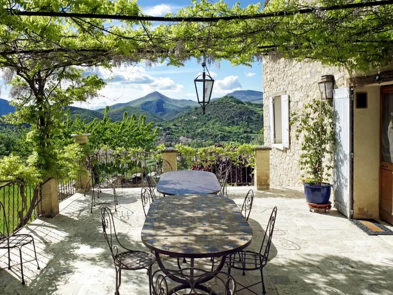
Le Deffends de Redon
Charming bed and breakfast
Montbrun-les-bains
Visit website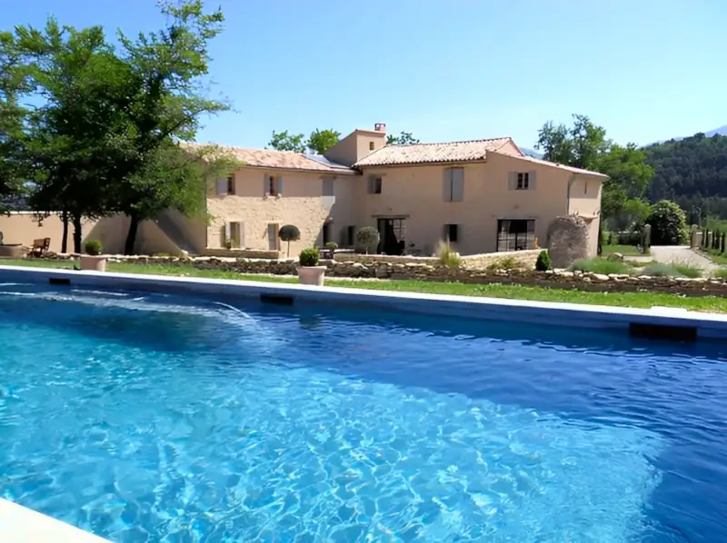


La Lauren
Charming vacation rental
Ferrassières
Visit website