


A getaway around the Pont du Gard
Following the Roman aqueduct near the Pont du Gard
Text and photographs by Vincent Flachaire
Arches and fragments of the water channel survive in the garrigue around the Pont du Gard. A walk along the Roman aqueduct helps explain how water reached Nîmes.
Finding the aqueduct near Vers
Between Vers-Pont-du-Gard and the great Roman bridge, paths run beneath low arches and walls overgrown with vegetation. Some remains stand alone; elsewhere, they follow one another along the trail.
The Pont du Gard was one crossing on a much longer structure. Around Vers, the construction adapts to changes in the terrain: walls support the channel, while arches carry it across hollows without losing height.

Bringing water to Nîmes
Built in the first century AD, the aqueduct carried water to Nîmes from the Fontaine d’Eure spring, near Uzès. The spring and the city are about twenty kilometres apart as the crow flies, but the channel ran for around fifty kilometres to skirt the hills.
The difference in altitude between the starting point and the destination is only about twelve metres, giving an average gradient of roughly twenty-five centimetres per kilometre. Water flowed by gravity. The builders therefore had to find a route around the hills while keeping enough height to reach the city and supply its fountains and baths.
La Lône, arches without their channel
In the La Lône area, part of the water channel has disappeared, leaving the walls and arches that supported it. The openings carried it across small depressions without lowering its level. Elsewhere along the route, the channel was buried: most of the aqueduct was protected underground.
Inside the channel, a mortar made from lime and fragments of fired clay provided a watertight lining. Access shafts allowed workers to enter for maintenance. The water ran through a covered conduit rather than in the open air on top of the arches.

Limestone left by the water
The lime-rich water from the Fontaine d’Eure deposited mineral layers on the channel walls. These deposits gradually reduced the space available for the flow. Their thickness helps explain how much maintenance the conduit required.
Outside the channel, limestone masses formed as water flowed from leaks and diversions. At Pont Roupt, one such mass preserves evidence of water being diverted to irrigate crops.

Bornègre, a bridge for water
Near Argilliers, between Uzès and Vers-Pont-du-Gard, the Bornègre bridge crosses a small valley. It belongs to the same aqueduct, upstream from the Pont du Gard. The stream may look modest in calm weather, but its bed can carry runoff from heavy rain.
The structure had three arches. Two are now partly hidden by sediment, while the central arch remains clearly visible. Its large stone blocks contrast with the smaller masonry seen around Vers. The water channel above has disappeared, but the bridge continued to serve a purpose.

When carts replaced water
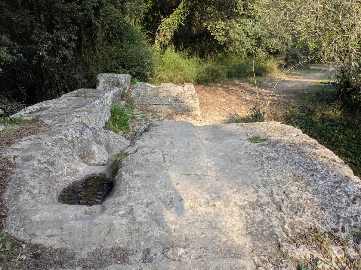
After it stopped carrying water, the Bornègre bridge became a crossing for people and animals. Ruts and hollows in the bridge deck preserve the marks left by wheels and hooves.
Elsewhere, inhabitants dismantled sections of the aqueduct to reuse the stones. Bornègre retained its arches and became part of the network of rural tracks.
Continue towards Uzès and the Gardon
In Uzès, the Eure valley offers a chance to see where the aqueduct began before visiting the historic centre. The Pont du Gard and its museum provide a broader view of the Roman building project. To explore more villages in the Uzège, head to Blauzac, above the Gardon plain.
Practical information
Planning your walk
- Route and duration
- Allow one to two hours to explore one area of remains and take photographs, depending on your starting point. Plan the stop at Bornègre, near Argilliers, separately. The Vers town council provides walking routes around the aqueduct to help you organise your walk.
- Access and parking
- For the remains close to the monument, the Pont du Gard left-bank car park provides a starting point. Pedestrian access to the bridge is free; parking and cultural facilities carry a charge. Check the site access information. When setting out from the villages, use authorised parking spaces and respect the properties you pass through.
- Museum and guided tours
- The Pont du Gard museum explains the route, construction and uses of the aqueduct. Guided tours of the monument add to the visit. Check opening times and booking requirements for the cultural facilities and tours.
- Terrain and equipment
- Bring walking shoes, water and sun protection for the stony paths. Spring and autumn are good seasons for walking; avoid intense heat. Stay on the paths and do not climb the fragile masonry. At Bornègre, do not attempt to cross if the stream is in flood.
- Summer access restrictions
- Before setting out, check the Gard wildfire risk map and any restrictions on access to woodland areas. Follow signs and closures on site, even if they require a change of route.
To plan your stay: Destination Pays d’Uzès Pont du Gard tourist office.
Extend your stay
Guest houses around the Pont du Gard and Uzès
These properties listed on the Portal are within 25 km as the crow flies of the location featured in this getaway. Visit their websites to plan your stay.
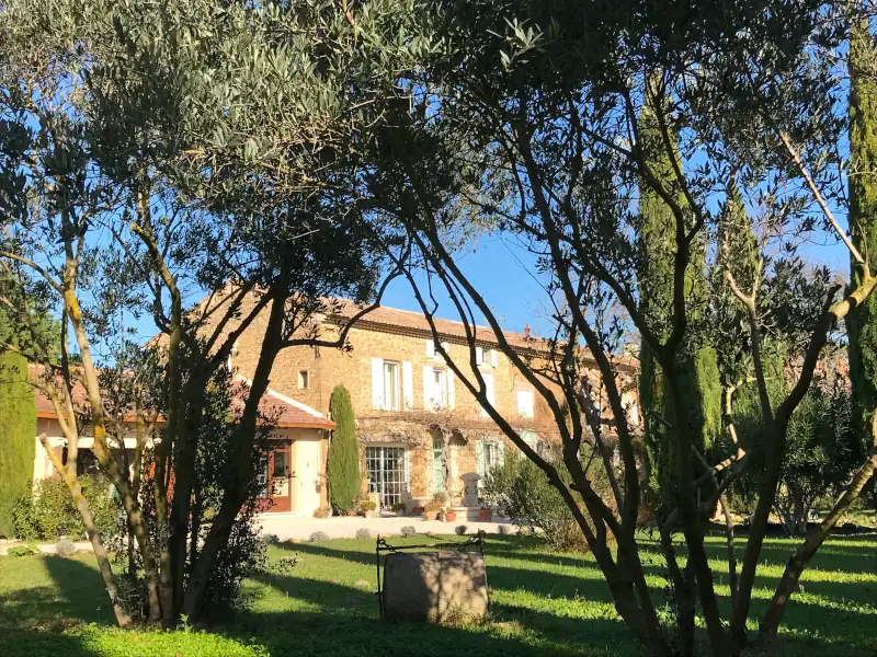
Fontaine des Magnarelles
Charming Bed and breakfast
Althen des Paluds
Visit website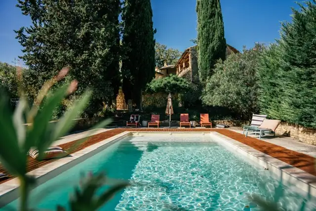
Last updated: