


At the far edge of Provence, the upper Ubaye Valley plunges into the mountains toward the peaks of the Southern Alps.
A high valley at the edge of Provence
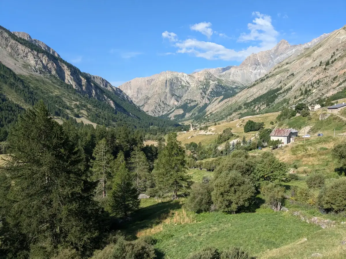
The upper Ubaye Valley marks the northeastern frontier of Provence, lying in the Southern Alps at nearly 1,500 meters above sea level, rising toward peaks over 3,000 meters that form the border with Italy’s Piedmont region. Here, the mountain climate and alpine vegetation blend harmoniously with sunlight reminiscent of Provençal warmth.
Despite its remoteness, this valley remains connected to Provence via the winding roads that follow the river, reaching the Serre-Ponçon Lake, where it joins the Durance Valley providing access to Sisteron, then Marseille, or the Rhône Valley.
Villages and mountain roads
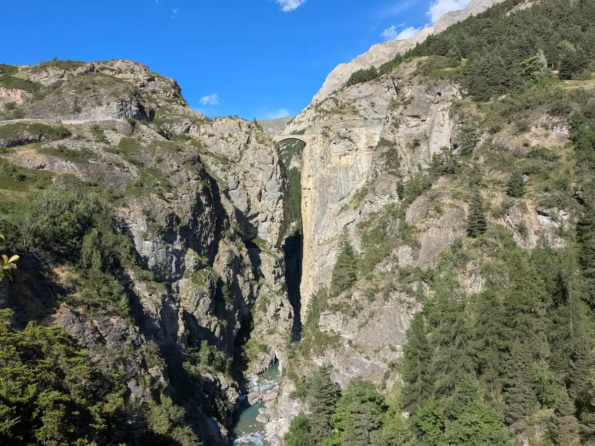
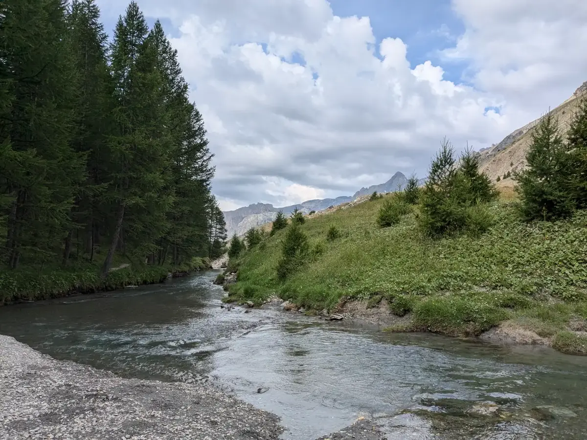
To reach the sources of the Ubaye, one must venture deep into this remote valley from Saint-Paul-sur-Ubaye, at 1,500 meters elevation. The winding road follows the tumultuous course of the mountain stream. The Châtelet Bridge, nestled within a deep rocky gorge, leads to Fouillouse. Hamlets dot the road — Petite and Grande Sérenne, Saint-Antoine, and La Barge — until the drivable road becomes a mountain trail at Maljasset, at 2,000 meters. This is the domain of hikers, who venture toward the Plan de Parouart, a former dried-up lake, and further to the Col de Malacoste where the Longet Lake feeds the source of the Ubaye.
Toward the southern Alps
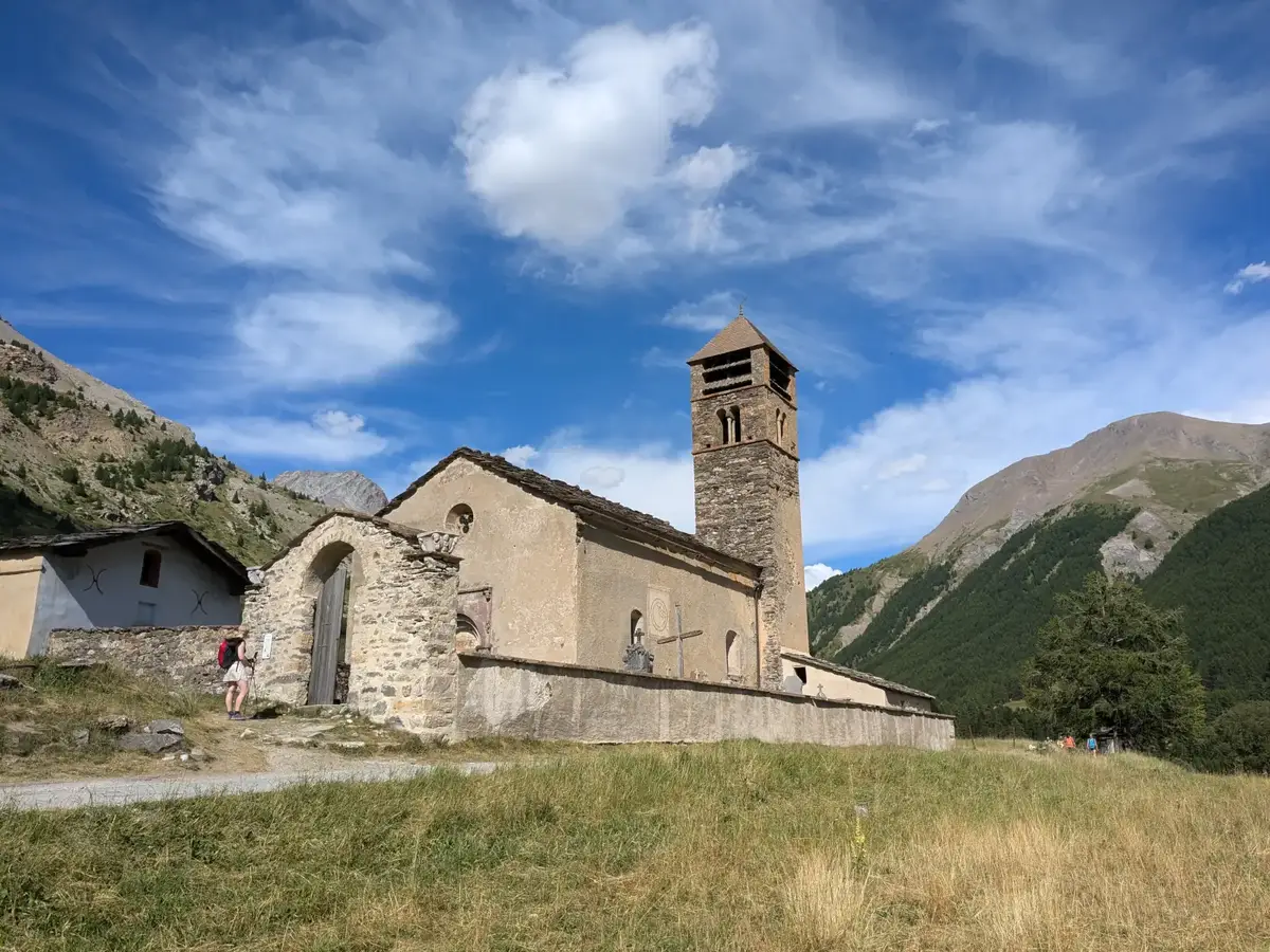
The churches and chapels of the hamlets, with their low houses topped with grey slate roofs, simple yet beautiful, bear witness to a past when the valley was far more populated. From more than 1,800 inhabitants in the mid-19th century, fewer than 180 remain today. The austere, harsh life of farmers and herders, confronting the challenges of high altitude, drove many to seek fortune elsewhere, leaving behind an almost deserted valley.
At the end of the road to Italy
Today, the valley retains its isolation and timeless beauty — a sanctuary cherished by hikers, where one’s spirit is restored in intimate communion with nature.
Our selection
Guest houses to extend the getaway
The portal favours direct links to owners' websites. You can compare settings, locations and services, then contact the guest house that best suits your stay.