


A getaway on the Var coast
The Giens Peninsula, salt pans, beaches and coves
Text and photographs by Vincent Flachaire
At Giens, two strips of sand link a former island to the coast of Hyères. The salt pans, long beaches and rocky coves offer very different walks on the same peninsula.
The village and its two tombolos
From the heights of the village, the two sandy strips enclose the flat expanses of Les Pesquiers. To the north, they join the coast of Hyères, with the sea on either side.
These sandy strips are known as tombolos. Sediment carried by the currents gradually linked an island to the mainland. To the west stretches Almanarre beach; to the east, the shore follows the road leading to Giens. The two sides differ in their exposure to wind and sea conditions.

The village stands on high ground around the church and the remains of the Pontevès-Gien castle. This family of local lords included several naval officers. The castle is thought to have been destroyed in 1793, during the siege of Toulon; its site now overlooks the two tombolos and the salt pans.
Les Pesquiers, from salt to birds
Between the two tombolos, the embankments and basins preserve the layout of the former saltworks. Seawater flowed from one basin to another until evaporation allowed the salt to be harvested.

Salt production has stopped, but water management maintains a mosaic of habitats favourable to birds. Flamingos may visit the basins, along with other species depending on the season. Guided visits offer a closer look at this landscape without entering the protected areas.
The beaches of the eastern tombolo
On the eastern tombolo, La Capte beach stretches between the dunes and the Bay of Hyères. This long sandy shore contrasts with the small coves of the rocky coast.
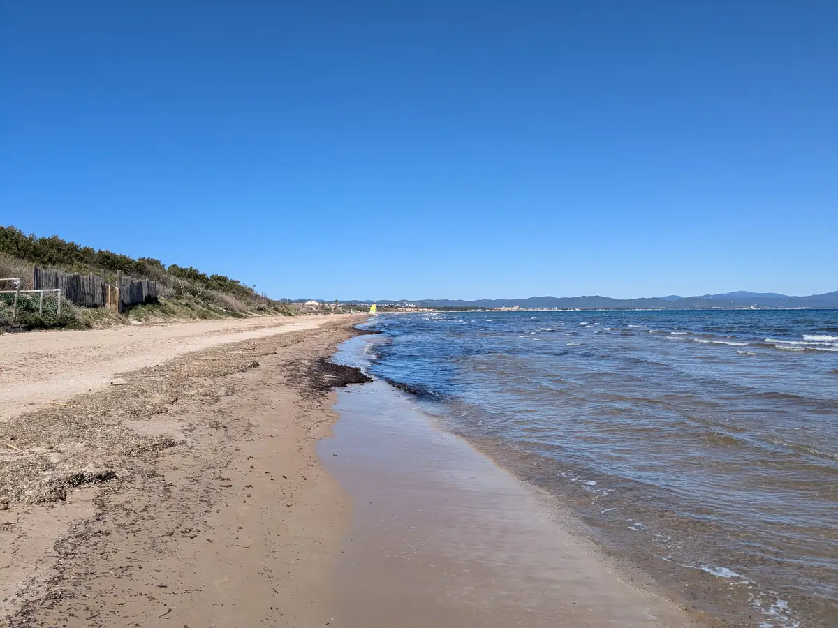
Further south along the same coast, La Badine beach holds the memory of a maritime tragedy. On 19 March 1879, a violent easterly gale caught the Arrogante, a floating battery used to train naval gunners. The vessel sank close to shore. Residents of Giens and customs officers formed a human chain to bring the shipwrecked sailors onto the beach. Despite the rescue efforts, several dozen sailors died.
La Tour Fondue facing Porquerolles
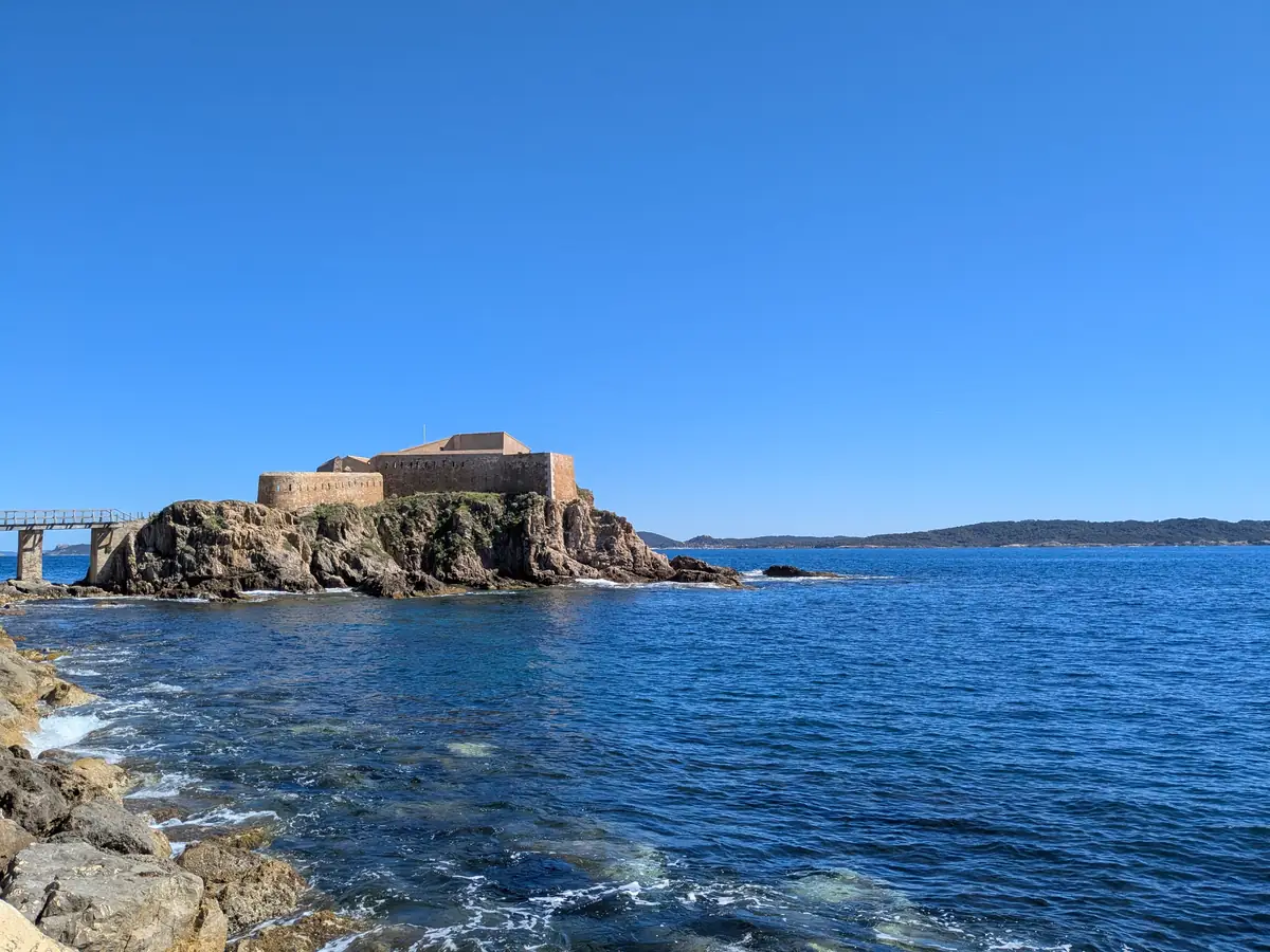
At the south-eastern tip, the Fort de la Tour Fondue was built in the 17th century to protect an anchorage. The small fort, set low beside the sea, contrasts with the higher ground elsewhere on Giens.
Today, boats for Porquerolles leave from near the fort and cross the channel between Giens and the island.
The rocky coast, from Le Niel to La Madrague
Along the south and west of the peninsula, Le Niel and La Madrague shelter their boats in narrow coves.
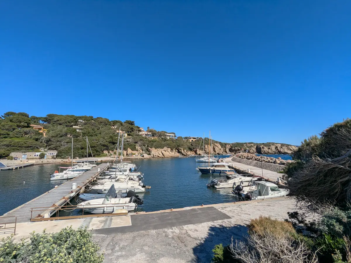
The coastal path passes beneath pine trees, crosses rocky ground and winds around coves. Along this part of Giens, the shore changes at every headland: a small beach gives way to a rocky face, then the path climbs above the sea.

At the western tip, protected land belonging to the Conservatoire du littoral contains pine woods, oak woods and windswept scrubland. On the cliffs, vegetation resistant to sea spray includes rare and protected plants such as Jupiter’s beard.
In the 18th century, some coastal land had so little agricultural value that the Count of Pontevès-Gien leased it to his employees because he could no longer pay them. Their rights, defended collectively, were recognised by a court ruling in 1833.

Continue your getaway along the Var coast
East of Hyères, Bormes-les-Mimosas is a hilltop village above the beaches of Brégançon and Le Lavandou. To the west, the Port d’Alon cove offers another shoreline of pine trees and rocks, with its own paths.
Further east, the harbour of Saint-Tropez leads from traditional pointus to racing yachts, then up to the citadel and its maritime history museum.
Practical information
Planning a getaway to Giens
- Duration
- Allow half a day for a few stops, or a full day to combine the village, salt pans and a walk. Visiting Porquerolles takes additional time.
- Access and parking
- Giens is reached from Hyères. It gets very busy in summer, particularly around the ferry terminals. The Route du Sel is subject to seasonal closures.
- Salt pans and paths
- Les Pesquiers can be visited according to opening arrangements and organised tours. See the salt pans information and the condition of the coastal path.
- By season
- Spring and autumn generally bring more pleasant temperatures for walking along the coast. In summer, the beaches and ferry terminals are very busy; mornings or late afternoons are better suited to walks. In winter, wind can make exposed stretches less comfortable.
- What to bring
- The paths include rocky sections and changes in elevation: bring walking shoes, water, a hat and sun protection.
To plan your visit: the City of Hyères.
Extend your stay
Guest houses around Hyères
Discover guest houses in the area and visit the owners’ websites directly to plan your stay.
Last updated: