Getaway in Avignon
Barthelasse Island, orchards on the Rhône facing Avignon
Text and photographs by Vincent Flachaire
Facing Avignon’s ramparts, Barthelasse Island opens a landscape of orchards, paths and Rhône riverbanks.
Between the Petit Rhône and the Grand Rhône
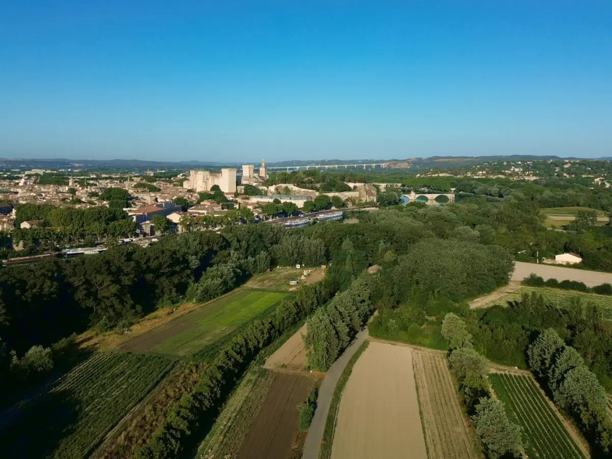
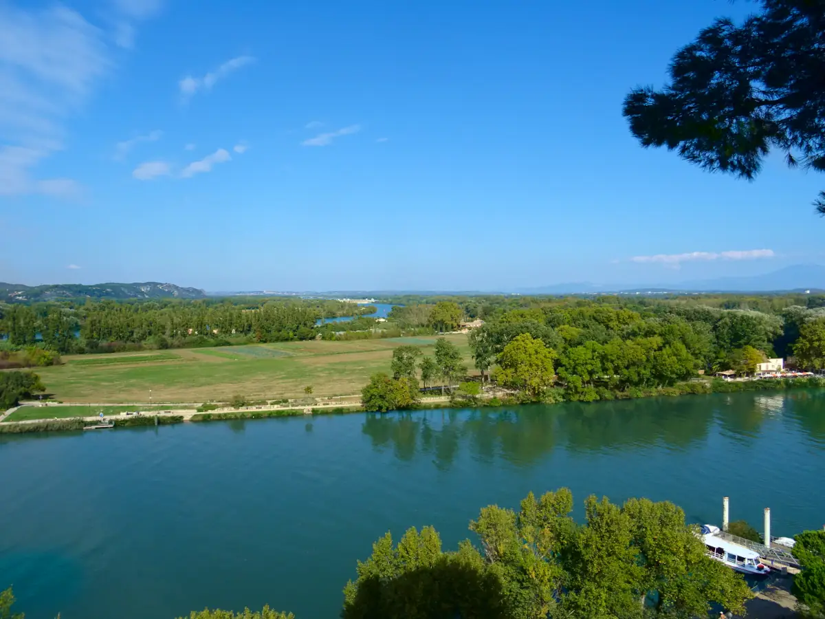
Between Avignon and Villeneuve-lès-Avignon, Barthelasse occupies the alluvial land enclosed by two arms of the river. The Petit Rhône runs beside the ramparts of the City of the Popes; the Grand Rhône separates the island from the Gard bank. Facing Avignon, market gardens and orchards are divided by hedges and linked by narrow roads.
Often described as Europe’s largest river island, Barthelasse is bordered to the south by the separate Île Piot. Closer to the bridges, Île Piot is home to most of the residents of the two islands; on Barthelasse, crops still occupy most of the land.
Orchards and crops on alluvial soils
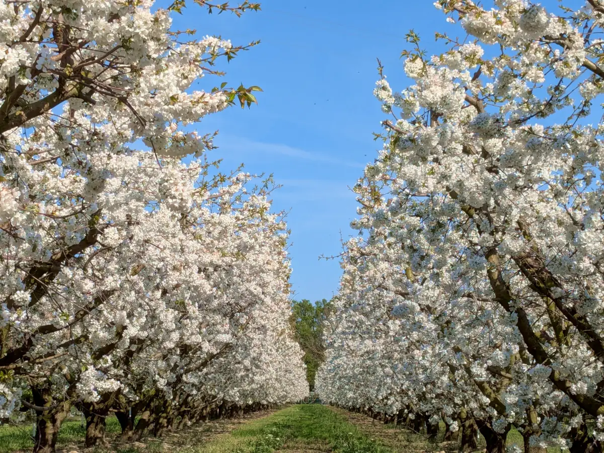
Soils deposited by the Rhône support cherry, pear and apple orchards, as well as market gardens. In 1447, Jean Richard, known as “Barthelucius”, took a long-term lease on this land from Saint-André Abbey in order to cultivate it. His nickname eventually gave the island its name.
Along the banks, willows, poplars, reed beds and patches of riverside woodland follow the river’s two arms. Further inland, hedges divide the orchards and market-garden plots.
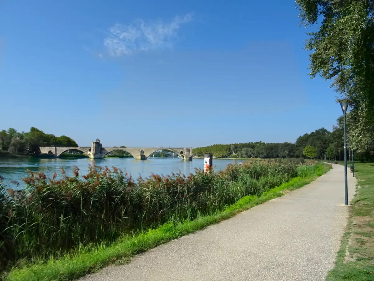
The towpath facing Avignon’s ramparts
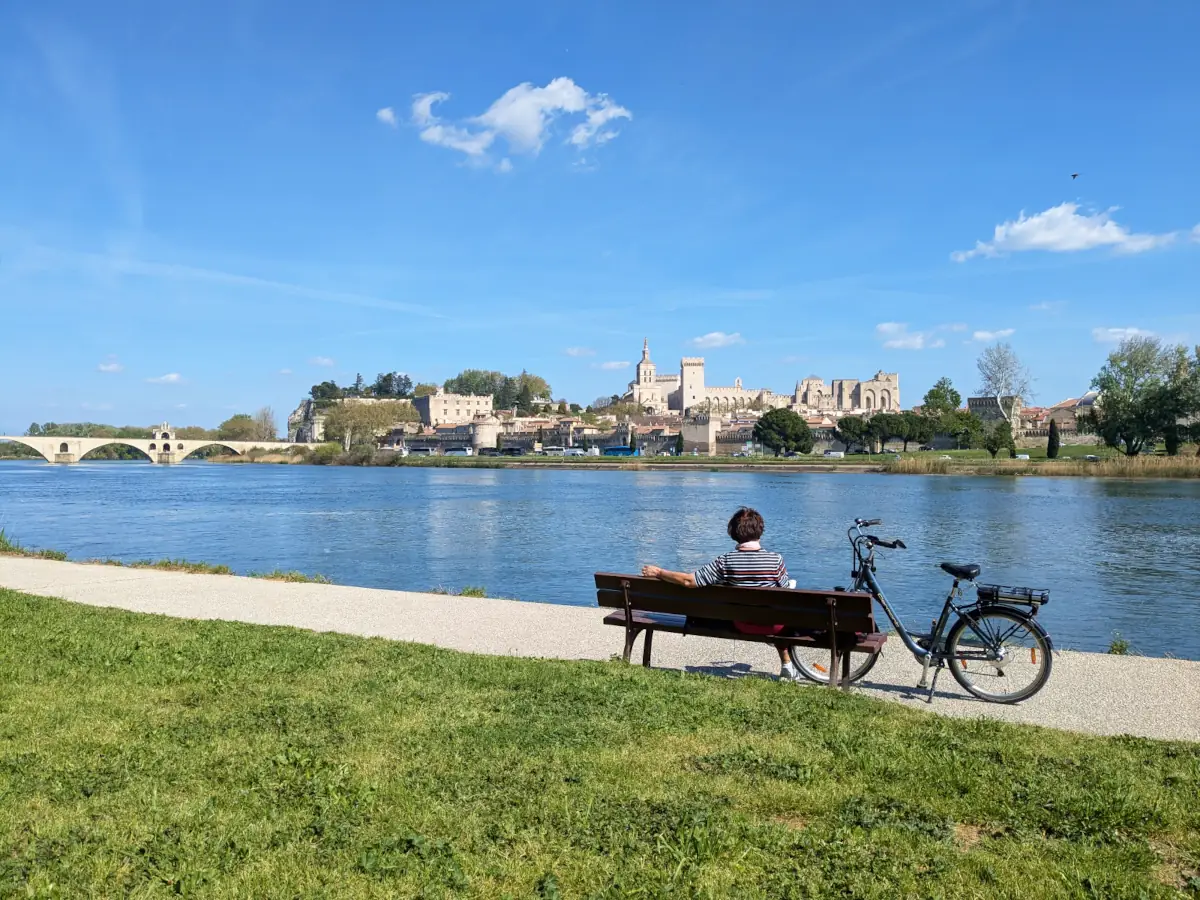
The towpath follows the Petit Rhône opposite the historic centre. The four surviving arches of the Pont Saint-Bénézet, the Palace of the Popes and the Rocher des Doms line up across the river. The bank can be explored on foot or by bicycle, between lawns, poplars and reed beds.
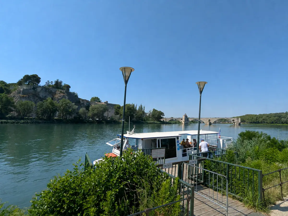
Crossing the Rhône by river shuttle
From the Quai de la Ligne, below the Rocher des Doms and close to the Pont d’Avignon, the free river shuttle crosses to Barthelasse. On the opposite bank, the landing stage opens directly onto the towpath, between lawns and poplars. The service follows a seasonal timetable and remains subject to navigation conditions on the Rhône. Pont Daladier provides another way to reach the island on foot, by bicycle or by car.
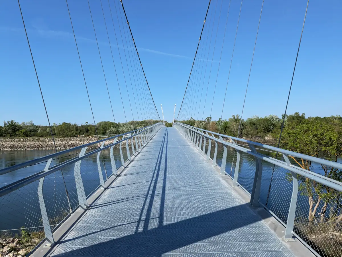
Cycling across the island on the ViaRhôna
The island’s flat terrain and network of narrow roads are well suited to cycling. The ViaRhôna crosses Barthelasse on a mixture of greenways and shared sections. To the north, the 200-metre Oiselay footbridge crosses the Rhône near the Sauveterre dam; the route then passes the Parc des Libertés before reaching Pont Daladier opposite the ramparts.
An island shaped by Rhône floods
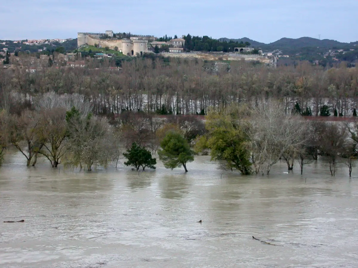
Barthelasse formed gradually as islets merged and alluvium accumulated. Its exposure to flooding explains the limited development and continued agricultural use of much of the land. In December 2003, a flood classed as a 100-year event cut off Île Piot and Barthelasse; water levels close to two metres were recorded in several areas.
Avignon seen from Barthelasse
From the riverbank, a single panorama brings together the Rhône, the bridge’s four arches, the ramparts, the Rocher des Doms and the towers of the Palace of the Popes. Beyond the towpath, the monuments disappear behind poplars, hedges and orchards.
Extend your stay
Guest houses around Avignon for a longer stay
To explore Barthelasse and the historic centre, compare guest houses around Avignon, check their facilities and contact the owners directly.
These properties listed on the Portal are within 25 km as the crow flies of the location featured in this getaway. Visit their websites to plan your stay.